Transport Functions
Port
Road
Hub Profile
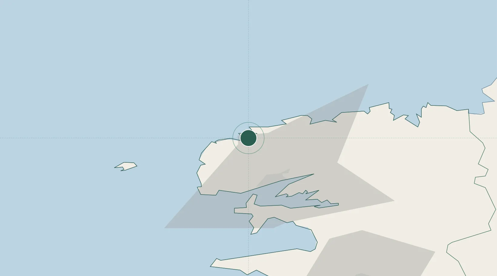
Place type
Populated place
Region
Brittany
Population
3,082
Time zone
Europe/Paris
Elevation
52 m
Location
Nearby Logistics Neighbours
Ports
- 1Rade De Brest23 km
- 2Port De Roscoff-Bloscon46 km
- 3Morlaix54 km
- 4Concarneau93 km
- 5Treguier100 km
Airports
- 1Brest Bretagne airport19 km
- 2Landivisiau Air Base31 km
- 3Lanvéoc-Poulmic Air Base35 km
- 4Ouessant Airport39 km
- 5Morlaix-Ploujean Airport55 km
Trade Zones
- 1Oceansgate Plymouth201 km
- 2Heart of the South West Enterprise Zone204 km
- 3Cornwall Newquay Aerohub Enterprise Zone208 km
- 4ZFU Saint-Nazaire224 km
- 5ZFU Cherbourg-Octeville242 km
DatabookThe Record of Consolidated Knowledge
France beyond logistics?