UN/LOCODE hub · France
FRKRE

Kerlouan

48.6500°, -4.3667°
2,405
Population
1
Transport functions

Transport Functions

Port
UN/LOCODE

Hub Profile

Place type
Populated place
GeoNames
Region
Brittany
GeoNames
Population
2,405
GeoNames
Time zone
Europe/Paris
GeoNames
Elevation
10 m
GeoNames

Location

Location of FRKRE
Natural Earth 10m (public domain) · Brittany · FRKRE · 48.65, -4.37GoogleOSMYandex

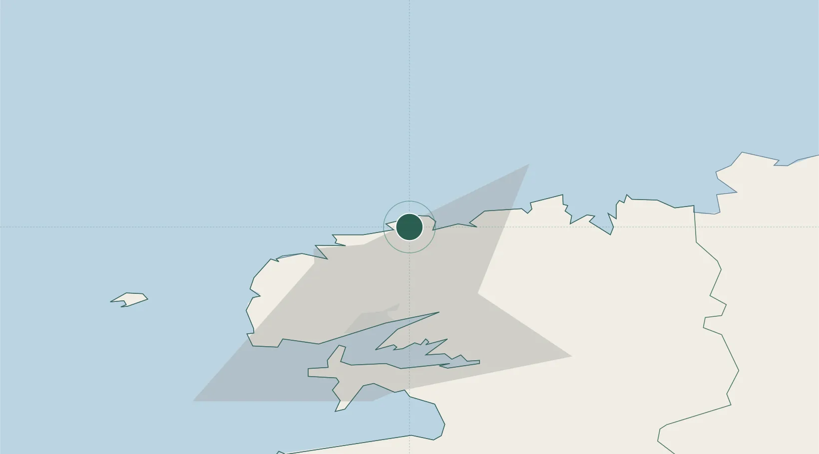
Nearby Logistics Neighbours

Cities
  1. 1Lesneven10 km
  2. 2Plouvien16 km
  3. 3Landéda17 km
  4. 4Tréflaouénan20 km
  5. 5Gouesnou23 km
Nearest neighbours — logibook spatial index (haversine) over the source coordinates
Ports
  1. 1Port De Roscoff-Bloscon30 km
  2. 2Rade De Brest31 km
  3. 3Morlaix40 km
  4. 4Treguier85 km
  5. 5Pontrieux90 km
Nearest neighbours — logibook spatial index (haversine) over the source coordinates
Airports
  1. 1Landivisiau Air Base21 km
  2. 2Brest Bretagne airport23 km
  3. 3Morlaix-Ploujean Airport41 km
  4. 4Lanvéoc-Poulmic Air Base41 km
  5. 5Ouessant Airport55 km
Nearest neighbours — logibook spatial index (haversine) over the source coordinates
Trade Zones
  1. 1Oceansgate Plymouth192 km
  2. 2Heart of the South West Enterprise Zone195 km
  3. 3Cornwall Newquay Aerohub Enterprise Zone203 km
  4. 4ZFU Saint-Nazaire218 km
  5. 5ZFU Cherbourg-Octeville225 km
Nearest neighbours — logibook spatial index (haversine) over the source coordinates
DatabookThe Record of Consolidated Knowledge
France beyond logistics?
Browse databook

All Sources

LocationsUN/LOCODE
UN/LOCODE — free
LocationsGeoNames
CC BY 4.0
Portsthe NGA World Port Index
Public domain (US gov)
AirportsOurAirports
Public domain
Trade Zonesthe World Bank SEZ database
CC BY 4.0
Trade ZonesOpen Zone Map
CC BY
← France locations