Transport Functions
Port
Road
Hub Profile
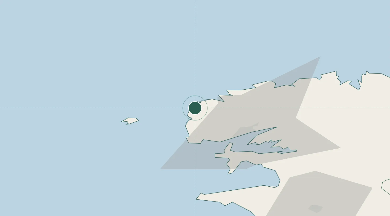
Place type
Populated place
Region
Brittany
Population
1,442
Time zone
Europe/Paris
Elevation
30 m
Location
Nearby Logistics Neighbours
Cities
- 1Plourin5 km
- 2Lanildut6 km
- 3Lampaul-Plouarzel10 km
- 4Landéda14 km
- 5Le Conquet19 km
Ports
- 1Rade De Brest24 km
- 2Port De Roscoff-Bloscon59 km
- 3Morlaix67 km
- 4Concarneau96 km
- 5Treguier114 km
Airports
- 1Brest Bretagne airport25 km
- 2Ouessant Airport26 km
- 3Lanvéoc-Poulmic Air Base35 km
- 4Landivisiau Air Base43 km
- 5Morlaix-Ploujean Airport68 km
Trade Zones
- 1Oceansgate Plymouth208 km
- 2Cornwall Newquay Aerohub Enterprise Zone212 km
- 3Heart of the South West Enterprise Zone212 km
- 4ZFU Saint-Nazaire231 km
- 5ZFU Cherbourg-Octeville255 km
DatabookThe Record of Consolidated Knowledge
France beyond logistics?