UN/LOCODE hub · France
FRLXB
Luxeuil-les-Bains
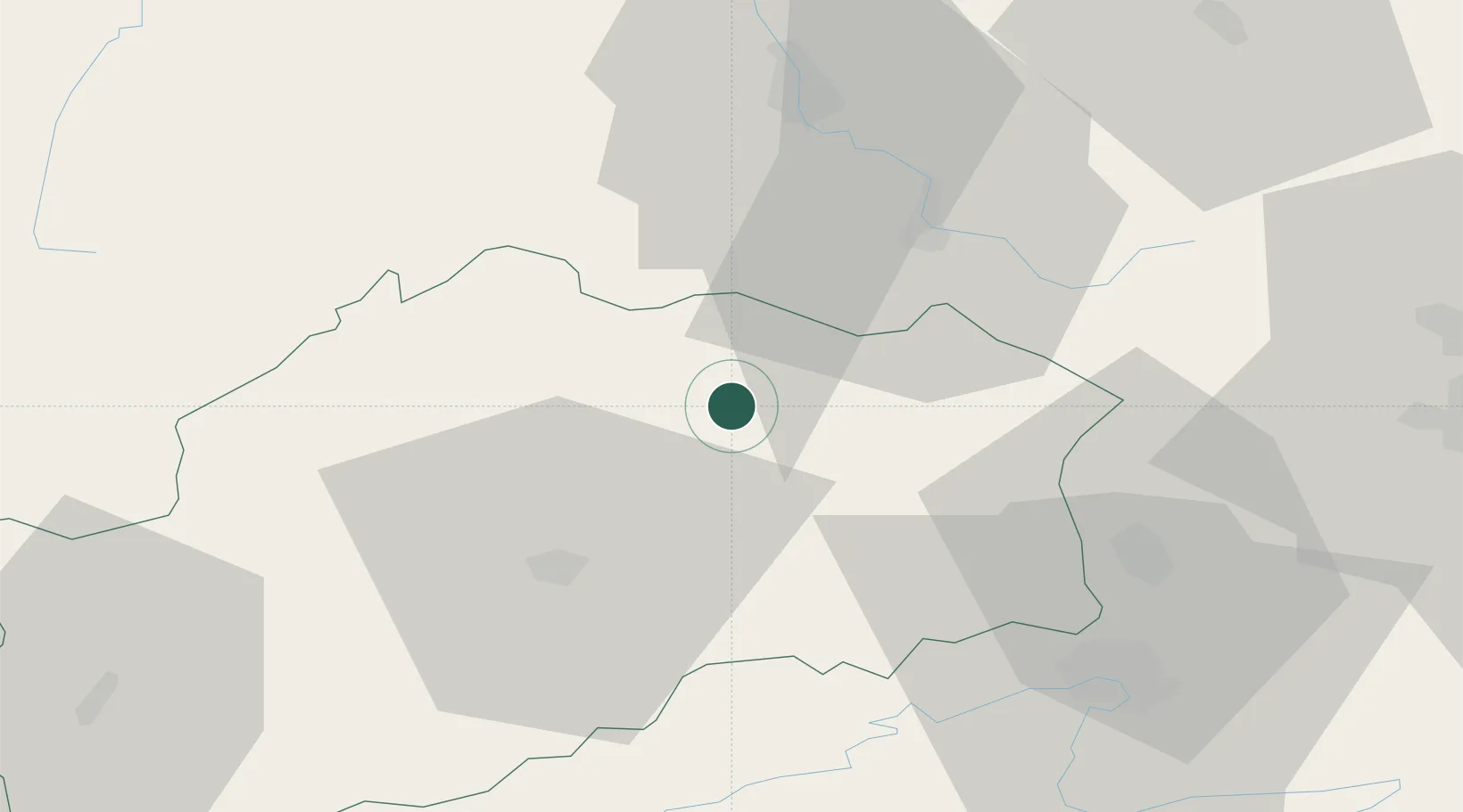
47.8167°, 6.3667°
9,200
Population
2
Transport functions
Transport Functions
Rail
Road
Hub Profile
Place type
Populated place
Region
Bourgogne
Population
9,200
Time zone
Europe/Paris
Elevation
299 m
Location
Nearby Logistics Neighbours
Cities
- 1Fougerolles8 km
- 2Le Val-d'Ajol14 km
- 3Faucogney-et-la-Mer15 km
- 4Melincourt19 km
- 5La Vôge-les-Bains22 km
Ports
- 1Bruxelles369 km
- 2Antwerpen404 km
- 3Ghent408 km
- 4Savona423 km
- 5Rada Di Vado427 km
Airports
Trade Zones
- 1ZFU Belfort38 km
- 2ZFU Montbéliard47 km
- 3ZFU Besancon70 km
- 4ZFU Mulhouse73 km
- 5ZFU Maxéville, Laxou, et de Nancy100 km
DatabookThe Record of Consolidated Knowledge
France beyond logistics?