UN/LOCODE hub · France
FRDDN

La Madeleine-de-Nonancourt

48.7667°, 1.2000°
1,170
Population
1
Transport functions

Transport Functions

Multimodal
UN/LOCODE

Hub Profile

Place type
Populated place
GeoNames
Region
Normandy
GeoNames
Population
1,170
GeoNames
Time zone
Europe/Paris
GeoNames
Elevation
144 m
GeoNames

Location

Location of FRDDN
Natural Earth 10m (public domain) · Normandy · FRDDN · 48.77, 1.20GoogleOSMYandex

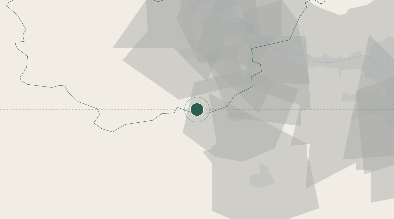
Nearby Logistics Neighbours

Cities
  1. 1Vert-en-Drouais7 km
  2. 2Montreuil12 km
  3. 3Île-de-Bréhat17 km
  4. 4Condé-sur-Iton19 km
  5. 5Serville21 km
Nearest neighbours — logibook spatial index (haversine) over the source coordinates
Ports
  1. 1Port Of Rouen77 km
  2. 2Honfleur102 km
  3. 3Deauville105 km
  4. 4Port Of Le Havre112 km
  5. 5Ouistreham120 km
Nearest neighbours — logibook spatial index (haversine) over the source coordinates
Airports
  1. 1Évreux-Fauville (BA 105) Air Base29 km
  2. 2Toussus-le-Noble Airport66 km
  3. 3Rouen Vallée de Seine Airport69 km
  4. 4Pontoise-Cormeilles Aerodrome71 km
  5. 5Vélizy-Villacoublay Air Base74 km
Nearest neighbours — logibook spatial index (haversine) over the source coordinates
Trade Zones
  1. 1ZFU Dreux et Sainte-Gemme-Moronval13 km
  2. 2ZFU Évreux29 km
  3. 3ZFU Mantes-la-Jolie45 km
  4. 4ZFU Les Mureaux56 km
  5. 5ZFU Trappes58 km
Nearest neighbours — logibook spatial index (haversine) over the source coordinates
DatabookThe Record of Consolidated Knowledge
France beyond logistics?
Browse databook

All Sources

LocationsUN/LOCODE
UN/LOCODE — free
LocationsGeoNames
CC BY 4.0
Portsthe NGA World Port Index
Public domain (US gov)
AirportsOurAirports
Public domain
Trade Zonesthe World Bank SEZ database
CC BY 4.0
Trade ZonesOpen Zone Map
CC BY
← France locations