Transport Functions
Rail
Road
Hub Profile
Place type
District seat
Region
Pays de la Loire
Population
18,536
Time zone
Europe/Paris
Elevation
33 m
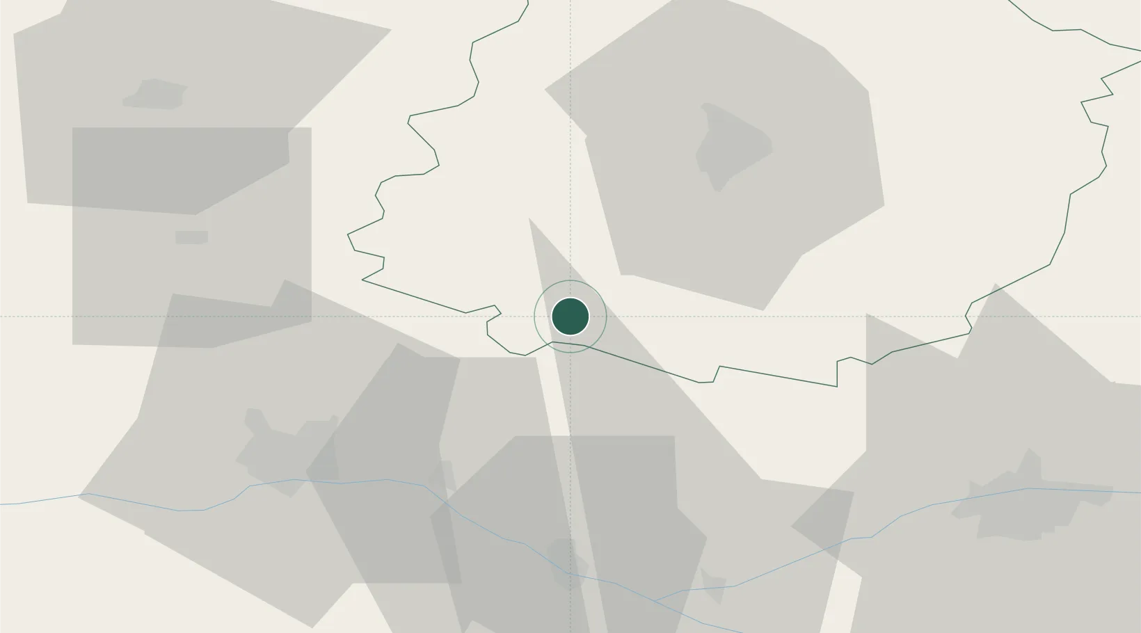
Location
Nearby Logistics Neighbours
Cities
- 1Baugé17 km
- 2Louailles18 km
- 3Parcé-sur-Sarthe18 km
- 4Solesmes24 km
- 5Noyant25 km
Ports
- 1Nantes126 km
- 2Donges157 km
- 3Montoir162 km
- 4Port De Caen166 km
- 5St Nazaire167 km
Airports
- 1Angers Marcé airport24 km
- 2Le Mans-Arnage Airport34 km
- 3Laval-Entrammes Airport63 km
- 4Tours Val de Loire Airport67 km
- 5Châteaudun Airfield115 km
Trade Zones
- 1ZFU Le Mans35 km
- 2ZFU Angers47 km
- 3ZFU Alençon82 km
- 4ZFU Blois101 km
- 5ZFU Nantes et Saint-Herblain134 km
DatabookThe Record of Consolidated Knowledge
France beyond logistics?