Transport Functions
Road
Multimodal
Hub Profile
Place type
Urban district
Region
Pays de la Loire
Time zone
Europe/Paris
Elevation
102 m
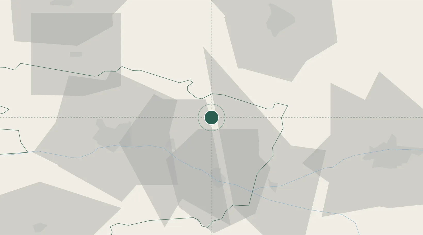
Location
Nearby Logistics Neighbours
Cities
- 1Fontaine-Guérin10 km
- 2Mouliherne13 km
- 3Mazé17 km
- 4La Flèche17 km
- 5Noyant18 km
Ports
- 1Nantes117 km
- 2Donges151 km
- 3Montoir156 km
- 4St Nazaire161 km
- 5Les Sables D' Olonne174 km
Airports
- 1Angers Marcé airport16 km
- 2Le Mans-Arnage Airport50 km
- 3Tours Val de Loire Airport64 km
- 4Laval-Entrammes Airport72 km
- 5Poitiers-Biard Airport111 km
Trade Zones
- 1ZFU Angers38 km
- 2ZFU Le Mans51 km
- 3ZFU Alençon99 km
- 4ZFU Blois103 km
- 5ZFU Nantes et Saint-Herblain126 km
DatabookThe Record of Consolidated Knowledge
France beyond logistics?