UN/LOCODE hub · France
FRWEL
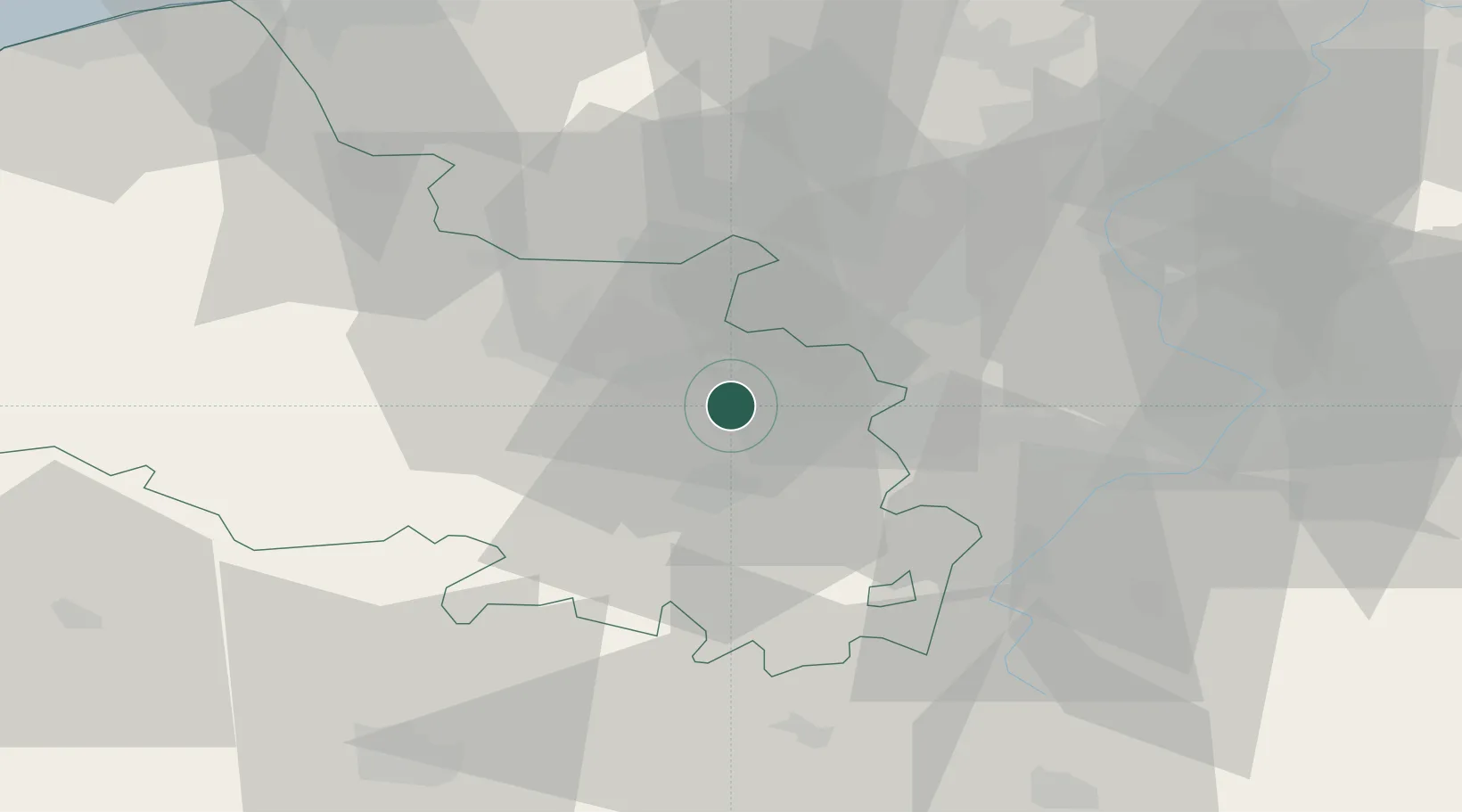
Éleu-dit-Leauwette
50.4167°, 2.8000°
2,962
Population
1
Transport functions
Transport Functions
Multimodal
Hub Profile
Place type
Populated place
Region
Hauts-de-France
Population
2,962
Time zone
Europe/Paris
Elevation
55 m
Location
Nearby Logistics Neighbours
Cities
- 1Lens3 km
- 2Angres4 km
- 3Sallaumines5 km
- 4Noyelles-sous-Lens5 km
- 5Grenay6 km
Ports
- 1Dunkerque Port Est79 km
- 2Nieuwpoort80 km
- 3Gravelines81 km
- 4Saint-Valery-Sur-Somme88 km
- 5Calais91 km
Airports
DatabookThe Record of Consolidated Knowledge
France beyond logistics?