Transport Functions
Multimodal
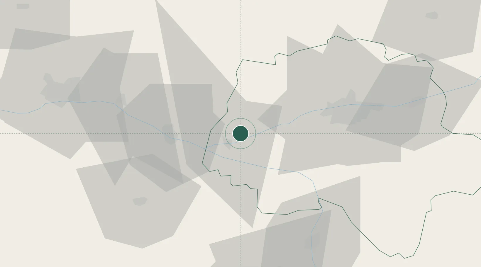
Hub Profile
Place type
Populated place
Region
Centre-Val de Loire
Population
1,148
Time zone
Europe/Paris
Elevation
42 m
Location
Nearby Logistics Neighbours
Cities
- 1Ingrandes-de-Touraine3 km
- 2Bourgueil5 km
- 3Beaumont-en-Véron10 km
- 4Avoine11 km
- 5Avrillé-les-Ponceaux14 km
Ports
- 1Nantes136 km
- 2La Rochelle164 km
- 3La Pallice166 km
- 4Tonnay Charente173 km
- 5Rochefort175 km
Airports
- 1Tours Val de Loire Airport41 km
- 2Angers Marcé airport51 km
- 3Le Mans-Arnage Airport74 km
- 4Poitiers-Biard Airport78 km
- 5Laval-Entrammes Airport111 km
Trade Zones
- 1ZFU Angers66 km
- 2ZFU Le Mans78 km
- 3ZFU Blois85 km
- 4ZFU Alençon128 km
- 5ZFU Orléans137 km
DatabookThe Record of Consolidated Knowledge
France beyond logistics?