UN/LOCODE hub · France
FRL49

Liré

47.3500°, -1.1667°
2,365
Population
2
Transport functions

Transport Functions

Port
Multimodal
UN/LOCODE

Hub Profile

Place type
Populated place
GeoNames
Region
Pays de la Loire
GeoNames
Population
2,365
GeoNames
Time zone
Europe/Paris
GeoNames
Elevation
40 m
GeoNames

Location

Location of FRL49
Natural Earth 10m (public domain) · Pays de la Loire · FRL49 · 47.35, -1.17GoogleOSMYandex

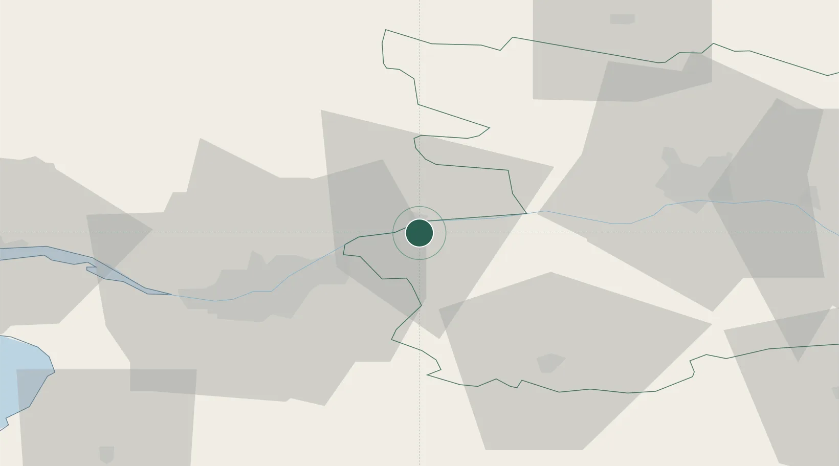
Nearby Logistics Neighbours

Cities
  1. 1Saint-Géréon3 km
  2. 2Saint-Julien-de-Chédon6 km
  3. 3Oudon9 km
  4. 4Landemont11 km
  5. 5Saint-Rémy-en-Mauges11 km
Nearest neighbours — logibook spatial index (haversine) over the source coordinates
Ports
  1. 1Nantes35 km
  2. 2Donges68 km
  3. 3Montoir73 km
  4. 4St Nazaire78 km
  5. 5Les Sables D' Olonne106 km
Nearest neighbours — logibook spatial index (haversine) over the source coordinates
Airports
  1. 1Nantes Atlantique Airport40 km
  2. 2Angers Marcé airport68 km
  3. 3La Roche-sur-Yon Les Ajoncs Airport74 km
  4. 4Saint-Nazaire-Montoir Airport74 km
  5. 5Laval-Entrammes Airport82 km
Nearest neighbours — logibook spatial index (haversine) over the source coordinates
Trade Zones
  1. 1ZFU Nantes et Saint-Herblain43 km
  2. 2ZFU Angers45 km
  3. 3ZFU Saint-Nazaire84 km
  4. 4ZFU Le Mans120 km
  5. 5ZFU La Rochelle132 km
Nearest neighbours — logibook spatial index (haversine) over the source coordinates
DatabookThe Record of Consolidated Knowledge
France beyond logistics?
Browse databook

All Sources

LocationsUN/LOCODE
UN/LOCODE — free
LocationsGeoNames
CC BY 4.0
Portsthe NGA World Port Index
Public domain (US gov)
AirportsOurAirports
Public domain
Trade Zonesthe World Bank SEZ database
CC BY 4.0
Trade ZonesOpen Zone Map
CC BY
← France locations