UN/LOCODE hub · France
FRNDT

Landemont

47.2667°, -1.2500°
1,568
Population
1
Transport functions

Transport Functions

Multimodal
UN/LOCODE

Hub Profile

Place type
Populated place
GeoNames
Region
Pays de la Loire
GeoNames
Population
1,568
GeoNames
Time zone
Europe/Paris
GeoNames
Elevation
90 m
GeoNames

Location

Location of FRNDT
Natural Earth 10m (public domain) · Pays de la Loire · FRNDT · 47.27, -1.25GoogleOSMYandex

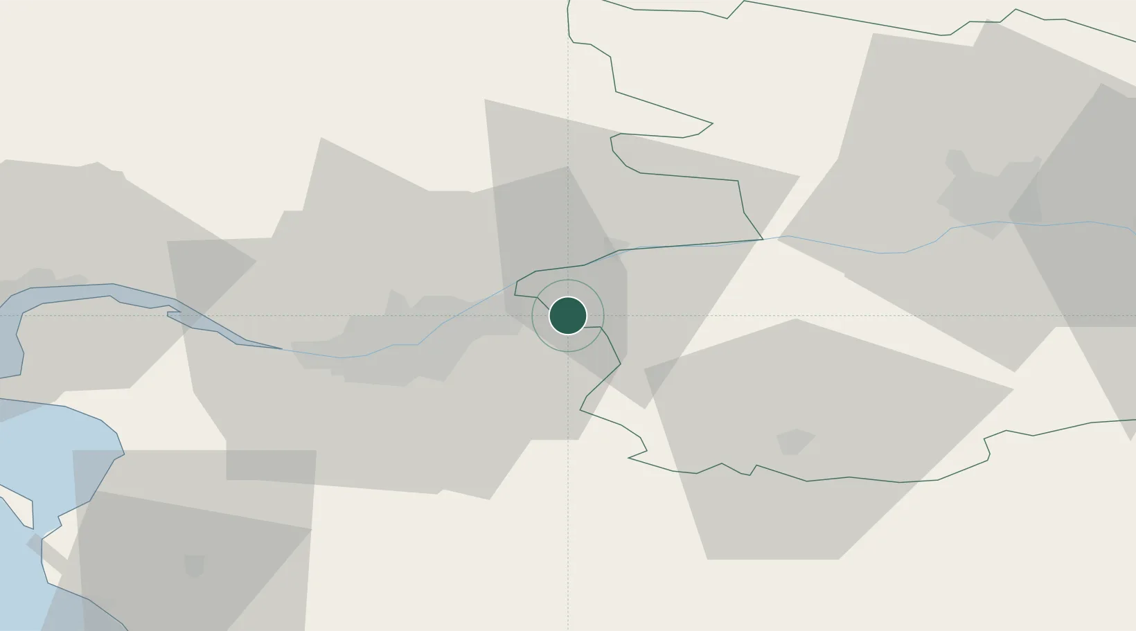
Nearby Logistics Neighbours

Cities
  1. 1Barbechat3 km
  2. 2La Remaudière4 km
  3. 3Saint-Christophe-la-Couperie4 km
  4. 4Saint-Julien-de-Chédon5 km
  5. 5Oudon10 km
Nearest neighbours — logibook spatial index (haversine) over the source coordinates
Ports
  1. 1Nantes25 km
  2. 2Donges62 km
  3. 3Montoir67 km
  4. 4St Nazaire72 km
  5. 5Les Sables D' Olonne95 km
Nearest neighbours — logibook spatial index (haversine) over the source coordinates
Airports
  1. 1Nantes Atlantique Airport30 km
  2. 2La Roche-sur-Yon Les Ajoncs Airport64 km
  3. 3Saint-Nazaire-Montoir Airport68 km
  4. 4Beauvoir Fromentine Airfield76 km
  5. 5Angers Marcé airport78 km
Nearest neighbours — logibook spatial index (haversine) over the source coordinates
Trade Zones
  1. 1ZFU Nantes et Saint-Herblain34 km
  2. 2ZFU Angers55 km
  3. 3ZFU Saint-Nazaire77 km
  4. 4ZFU La Rochelle123 km
  5. 5ZFU Le Mans130 km
Nearest neighbours — logibook spatial index (haversine) over the source coordinates
DatabookThe Record of Consolidated Knowledge
France beyond logistics?
Browse databook

All Sources

LocationsUN/LOCODE
UN/LOCODE — free
LocationsGeoNames
CC BY 4.0
Portsthe NGA World Port Index
Public domain (US gov)
AirportsOurAirports
Public domain
Trade Zonesthe World Bank SEZ database
CC BY 4.0
Trade ZonesOpen Zone Map
CC BY
← France locations