Transport Functions
Port
Rail
Road
Hub Profile
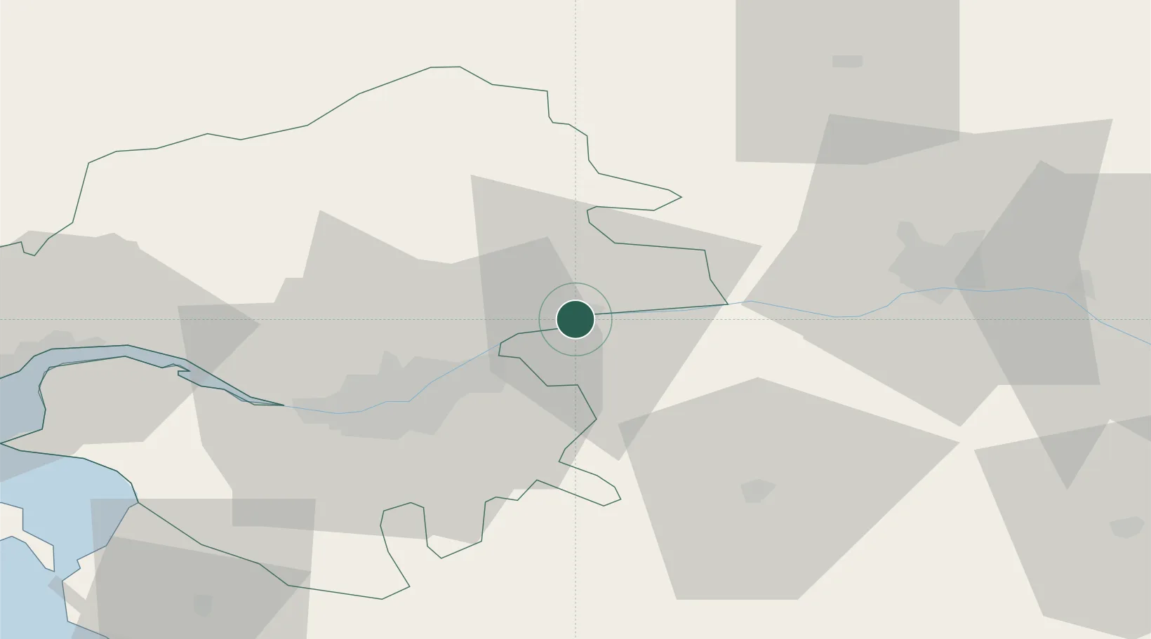
Place type
Populated place
Region
Pays de la Loire
Population
2,727
Time zone
Europe/Paris
Elevation
36 m
Location
Nearby Logistics Neighbours
Cities
- 1Liré3 km
- 2Oudon7 km
- 3Saint-Julien-de-Chédon7 km
- 4Barbechat11 km
- 5Landemont12 km
Ports
- 1Nantes33 km
- 2Donges66 km
- 3Montoir71 km
- 4St Nazaire76 km
- 5Les Sables D' Olonne107 km
Airports
Trade Zones
- 1ZFU Nantes et Saint-Herblain41 km
- 2ZFU Angers47 km
- 3ZFU Saint-Nazaire82 km
- 4ZFU Le Mans121 km
- 5ZFU La Rochelle134 km
DatabookThe Record of Consolidated Knowledge
France beyond logistics?