UN/LOCODE hub · France
FRUSQ

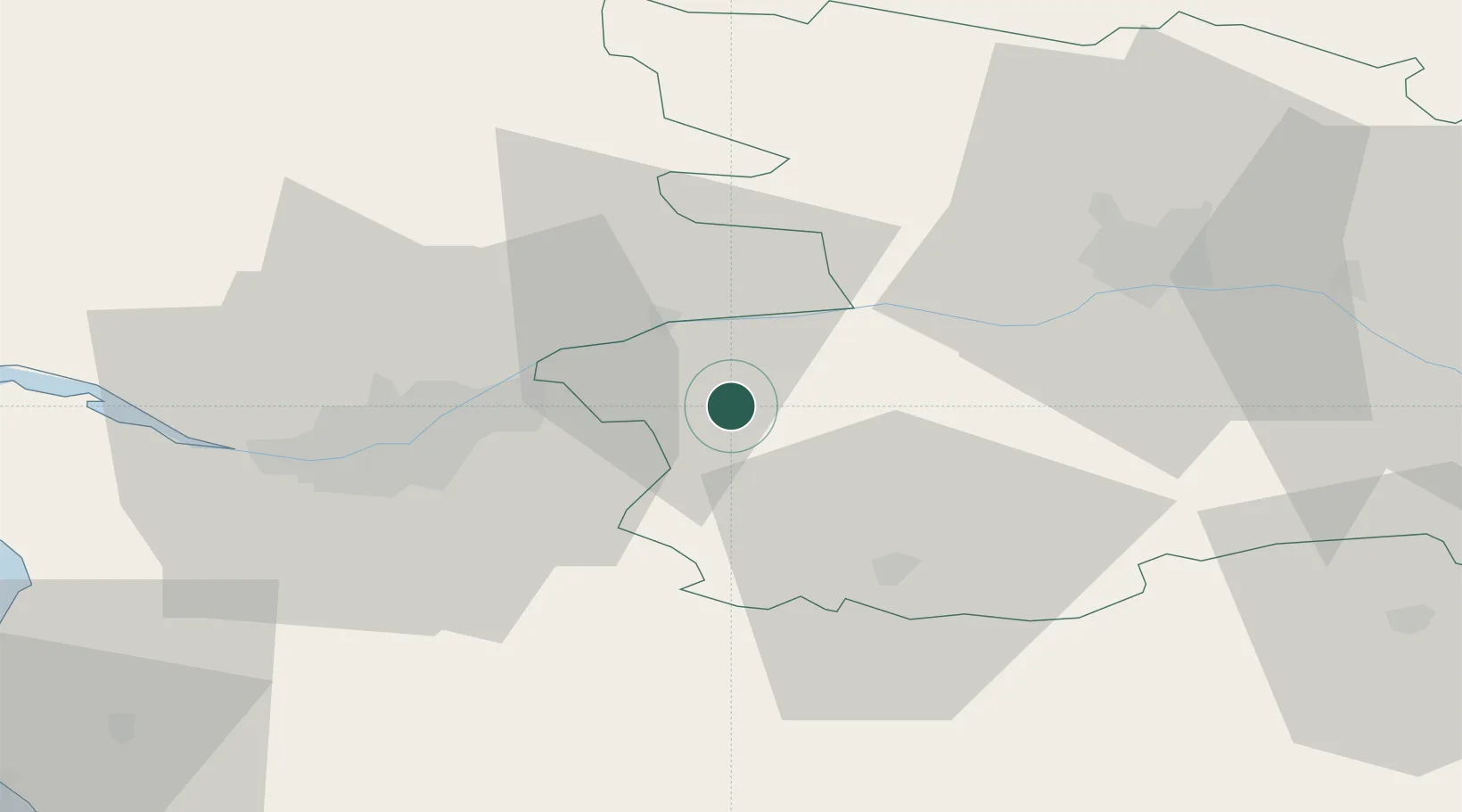
Saint-Rémy-en-Mauges

47.2667°, -1.0833°
1,298
Population
1
Transport functions

Transport Functions

Multimodal
UN/LOCODE

Hub Profile

Place type
Populated place
GeoNames
Region
Pays de la Loire
GeoNames
Population
1,298
GeoNames
Time zone
Europe/Paris
GeoNames
Elevation
87 m
GeoNames

Location

Location of FRUSQ
Natural Earth 10m (public domain) · Pays de la Loire · FRUSQ · 47.27, -1.08GoogleOSMYandex

Nearby Logistics Neighbours

Cities
  1. 1La Chaussaire8 km
  2. 2Saint-Christophe-la-Couperie9 km
  3. 3Saint-Julien-de-Chédon10 km
  4. 4Liré11 km
  5. 5La Regrippière12 km
Nearest neighbours — logibook spatial index (haversine) over the source coordinates
Ports
  1. 1Nantes37 km
  2. 2Donges74 km
  3. 3Montoir79 km
  4. 4St Nazaire84 km
  5. 5Les Sables D' Olonne101 km
Nearest neighbours — logibook spatial index (haversine) over the source coordinates
Airports
  1. 1Nantes Atlantique Airport42 km
  2. 2Angers Marcé airport67 km
  3. 3La Roche-sur-Yon Les Ajoncs Airport67 km
  4. 4Saint-Nazaire-Montoir Airport81 km
  5. 5Beauvoir Fromentine Airfield87 km
Nearest neighbours — logibook spatial index (haversine) over the source coordinates
Trade Zones
  1. 1ZFU Angers44 km
  2. 2ZFU Nantes et Saint-Herblain47 km
  3. 3ZFU Saint-Nazaire90 km
  4. 4ZFU Le Mans121 km
  5. 5ZFU La Rochelle123 km
Nearest neighbours — logibook spatial index (haversine) over the source coordinates
DatabookThe Record of Consolidated Knowledge
France beyond logistics?
Browse databook

All Sources

LocationsUN/LOCODE
UN/LOCODE — free
LocationsGeoNames
CC BY 4.0
Portsthe NGA World Port Index
Public domain (US gov)
AirportsOurAirports
Public domain
Trade Zonesthe World Bank SEZ database
CC BY 4.0
Trade ZonesOpen Zone Map
CC BY
← France locations