UN/LOCODE hub · France
FRKAQ

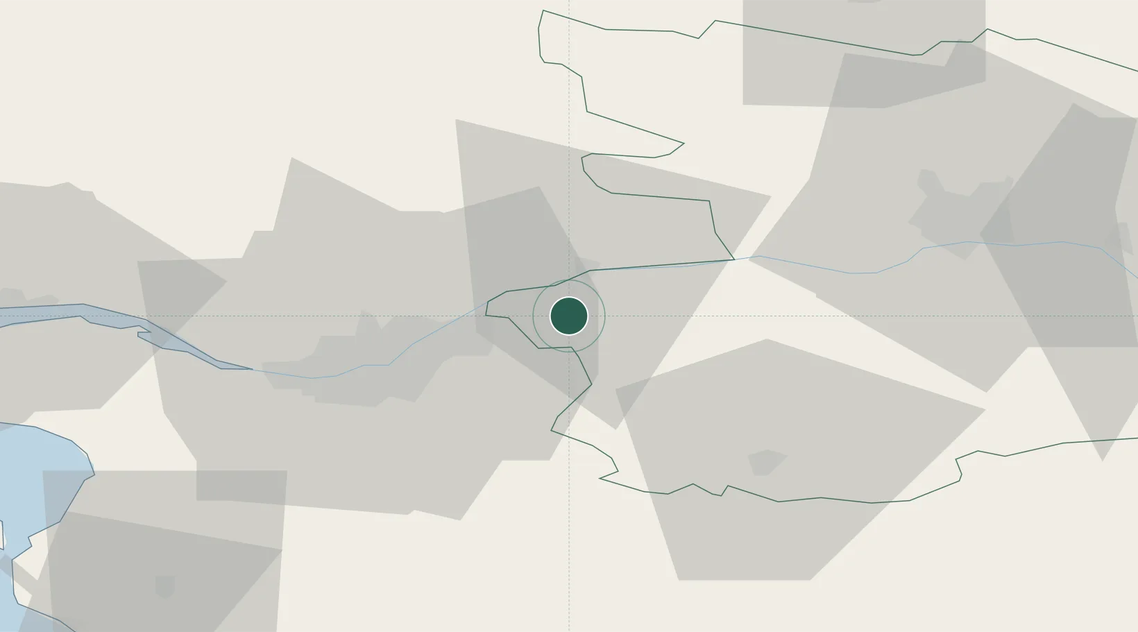
Saint-Julien-de-Chédon

47.3000°, -1.2000°
727
Population
2
Transport functions

Transport Functions

Port
Multimodal
UN/LOCODE

Hub Profile

Place type
Populated place
GeoNames
Region
Centre-Val de Loire
GeoNames
Population
727
GeoNames
Time zone
Europe/Paris
GeoNames
Elevation
128 m
GeoNames

Location

Location of FRKAQ
Natural Earth 10m (public domain) · Centre-Val de Loire · FRKAQ · 47.30, -1.20GoogleOSMYandex

Nearby Logistics Neighbours

Cities
  1. 1Landemont5 km
  2. 2Saint-Christophe-la-Couperie6 km
  3. 3Liré6 km
  4. 4Barbechat7 km
  5. 5Saint-Géréon7 km
Nearest neighbours — logibook spatial index (haversine) over the source coordinates
Ports
  1. 1Nantes30 km
  2. 2Donges65 km
  3. 3Montoir70 km
  4. 4St Nazaire75 km
  5. 5Les Sables D' Olonne100 km
Nearest neighbours — logibook spatial index (haversine) over the source coordinates
Airports
  1. 1Nantes Atlantique Airport35 km
  2. 2La Roche-sur-Yon Les Ajoncs Airport68 km
  3. 3Saint-Nazaire-Montoir Airport72 km
  4. 4Angers Marcé airport73 km
  5. 5Beauvoir Fromentine Airfield81 km
Nearest neighbours — logibook spatial index (haversine) over the source coordinates
Trade Zones
  1. 1ZFU Nantes et Saint-Herblain39 km
  2. 2ZFU Angers50 km
  3. 3ZFU Saint-Nazaire81 km
  4. 4ZFU Le Mans125 km
  5. 5ZFU La Rochelle127 km
Nearest neighbours — logibook spatial index (haversine) over the source coordinates
DatabookThe Record of Consolidated Knowledge
France beyond logistics?
Browse databook

All Sources

LocationsUN/LOCODE
UN/LOCODE — free
LocationsGeoNames
CC BY 4.0
Portsthe NGA World Port Index
Public domain (US gov)
AirportsOurAirports
Public domain
Trade Zonesthe World Bank SEZ database
CC BY 4.0
Trade ZonesOpen Zone Map
CC BY
← France locations