Transport Functions
Multimodal
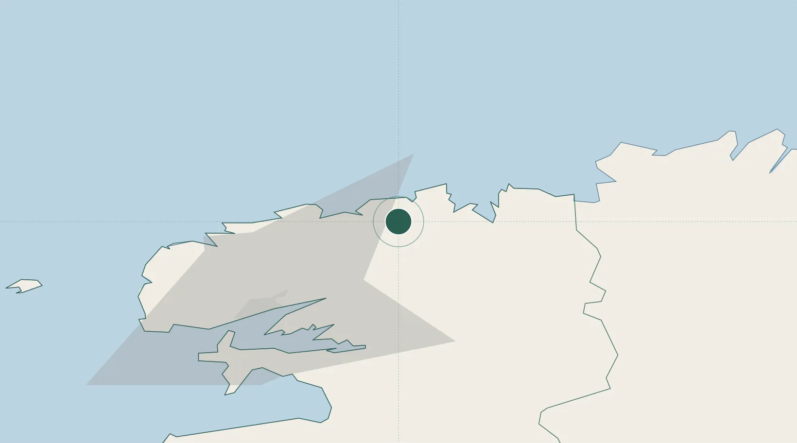
Hub Profile
Place type
Populated place
Region
Brittany
Population
500
Time zone
Europe/Paris
Elevation
43 m
Location
Nearby Logistics Neighbours
Cities
- 1Saint-Pol-de-Léon10 km
- 2Lanvenegen15 km
- 3Lesneven18 km
- 4Kerlouan20 km
- 5Morlaix20 km
Ports
- 1Port De Roscoff-Bloscon14 km
- 2Morlaix20 km
- 3Rade De Brest41 km
- 4Treguier66 km
- 5Pontrieux71 km
Airports
- 1Landivisiau Air Base12 km
- 2Morlaix-Ploujean Airport21 km
- 3Brest Bretagne airport31 km
- 4Lanvéoc-Poulmic Air Base47 km
- 5Lannion Airport48 km
Trade Zones
- 1Oceansgate Plymouth193 km
- 2Heart of the South West Enterprise Zone196 km
- 3ZFU Saint-Nazaire203 km
- 4ZFU Cherbourg-Octeville209 km
- 5Cornwall Newquay Aerohub Enterprise Zone210 km
DatabookThe Record of Consolidated Knowledge
France beyond logistics?