UN/LOCODE hub · France
FRZEW

Lesneven

48.5667°, -4.3167°
7,144
Population
1
Transport functions

Transport Functions

Multimodal
UN/LOCODE

Hub Profile

Place type
Populated place
GeoNames
Region
Brittany
GeoNames
Population
7,144
GeoNames
Time zone
Europe/Paris
GeoNames
Elevation
63 m
GeoNames

Location

Location of FRZEW
Natural Earth 10m (public domain) · Brittany · FRZEW · 48.57, -4.32GoogleOSMYandex

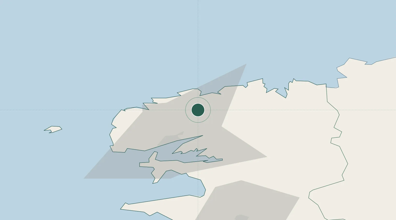
Nearby Logistics Neighbours

Cities
  1. 1Kerlouan10 km
  2. 2Plouvien11 km
  3. 3Landerneau14 km
  4. 4La Forest-Landerneau15 km
  5. 5Pencran16 km
Nearest neighbours — logibook spatial index (haversine) over the source coordinates
Ports
  1. 1Rade De Brest25 km
  2. 2Port De Roscoff-Bloscon31 km
  3. 3Morlaix36 km
  4. 4Treguier83 km
  5. 5Concarneau83 km
Nearest neighbours — logibook spatial index (haversine) over the source coordinates
Airports
  1. 1Landivisiau Air Base13 km
  2. 2Brest Bretagne airport15 km
  3. 3Lanvéoc-Poulmic Air Base33 km
  4. 4Morlaix-Ploujean Airport37 km
  5. 5Ouessant Airport56 km
Nearest neighbours — logibook spatial index (haversine) over the source coordinates
Trade Zones
  1. 1Oceansgate Plymouth201 km
  2. 2Heart of the South West Enterprise Zone204 km
  3. 3ZFU Saint-Nazaire209 km
  4. 4Cornwall Newquay Aerohub Enterprise Zone213 km
  5. 5ZFU Cherbourg-Octeville227 km
Nearest neighbours — logibook spatial index (haversine) over the source coordinates
DatabookThe Record of Consolidated Knowledge
France beyond logistics?
Browse databook

All Sources

LocationsUN/LOCODE
UN/LOCODE — free
LocationsGeoNames
CC BY 4.0
Portsthe NGA World Port Index
Public domain (US gov)
AirportsOurAirports
Public domain
Trade Zonesthe World Bank SEZ database
CC BY 4.0
Trade ZonesOpen Zone Map
CC BY
← France locations