UN/LOCODE hub · France
FRJUY

Autheuil-Authouillet
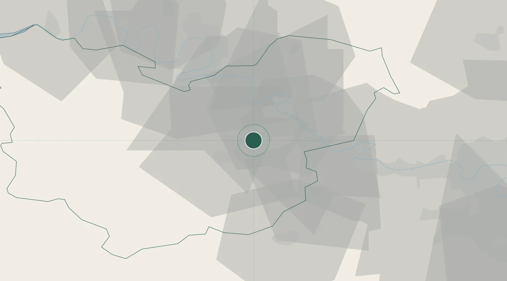
49.0833°, 1.2667°
808
Population
1
Transport functions

Transport Functions

Multimodal
UN/LOCODE

Hub Profile

Place type
Populated place
GeoNames
Region
Normandy
GeoNames
Population
808
GeoNames
Time zone
Europe/Paris
GeoNames
Elevation
65 m
GeoNames

Location

Location of FRJUY
Natural Earth 10m (public domain) · Normandy · FRJUY · 49.08, 1.27GoogleOSMYandex

Nearby Logistics Neighbours

Cities
  1. 1Gaillon11 km
  2. 2Saint-Pierre-d'Autils12 km
  3. 3Saint-Pierre-la-Garenne12 km
  4. 4Heudebouville13 km
  5. 5Vironvay14 km
Nearest neighbours — logibook spatial index (haversine) over the source coordinates
Ports
  1. 1Port Of Rouen43 km
  2. 2Honfleur85 km
  3. 3Deauville92 km
  4. 4Port Of Le Havre95 km
  5. 5Dieppe95 km
Nearest neighbours — logibook spatial index (haversine) over the source coordinates
Airports
  1. 1Évreux-Fauville (BA 105) Air Base7 km
  2. 2Rouen Vallée de Seine Airport34 km
  3. 3Pontoise-Cormeilles Aerodrome56 km
  4. 4Toussus-le-Noble Airport72 km
  5. 5Beauvais-Tillé airport74 km
Nearest neighbours — logibook spatial index (haversine) over the source coordinates
Trade Zones
  1. 1ZFU Évreux11 km
  2. 2ZFU Mantes-la-Jolie34 km
  3. 3ZFU Dreux et Sainte-Gemme-Moronval38 km
  4. 4ZFU Rouen Bihorel44 km
  5. 5ZFU Les Mureaux47 km
Nearest neighbours — logibook spatial index (haversine) over the source coordinates
DatabookThe Record of Consolidated Knowledge
France beyond logistics?
Browse databook

All Sources

LocationsUN/LOCODE
UN/LOCODE — free
LocationsGeoNames
CC BY 4.0
Portsthe NGA World Port Index
Public domain (US gov)
AirportsOurAirports
Public domain
Trade Zonesthe World Bank SEZ database
CC BY 4.0
Trade ZonesOpen Zone Map
CC BY
← France locations