Transport Functions
Rail
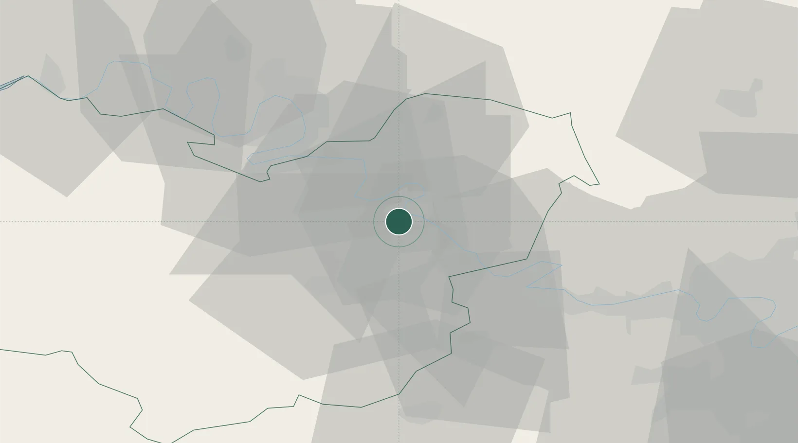
Hub Profile
Place type
Populated place
Region
Normandy
Population
6,818
Time zone
Europe/Paris
Elevation
17 m
Location
Nearby Logistics Neighbours
Cities
- 1Saint-Pierre-la-Garenne5 km
- 2Muids6 km
- 3Heudebouville7 km
- 4Les Trois Lacs7 km
- 5Notre-Dame-de-l'Isle8 km
Ports
- 1Port Of Rouen37 km
- 2Honfleur86 km
- 3Dieppe87 km
- 4Deauville93 km
- 5Port Of Le Havre95 km
Airports
Trade Zones
- 1ZFU Évreux21 km
- 2ZFU Mantes-la-Jolie34 km
- 3ZFU Rouen Bihorel37 km
- 4ZFU Les Mureaux45 km
- 5ZFU Dreux et Sainte-Gemme-Moronval47 km
DatabookThe Record of Consolidated Knowledge
France beyond logistics?