Transport Functions
Port
Road
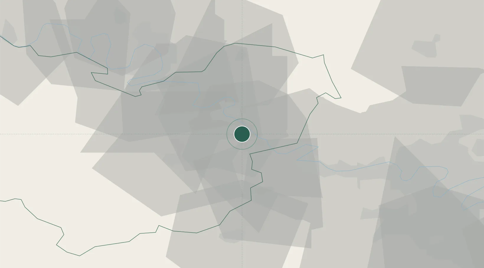
Hub Profile
Place type
Populated place
Region
Normandy
Time zone
Europe/Paris
Elevation
22 m
Location
Nearby Logistics Neighbours
Cities
- 1Notre-Dame-de-l'Isle4 km
- 2Saint-Pierre-la-Garenne4 km
- 3Gaillon8 km
- 4Limetz-Villez11 km
- 5Autheuil-Authouillet12 km
Ports
- 1Port Of Rouen45 km
- 2Honfleur93 km
- 3Dieppe94 km
- 4Deauville101 km
- 5Port Of Le Havre103 km
Airports
Trade Zones
- 1ZFU Évreux22 km
- 2ZFU Mantes-la-Jolie26 km
- 3ZFU Les Mureaux38 km
- 4ZFU Dreux et Sainte-Gemme-Moronval41 km
- 5ZFU Rouen Bihorel45 km
DatabookThe Record of Consolidated Knowledge
France beyond logistics?