UN/LOCODE hub · France
FRXPG

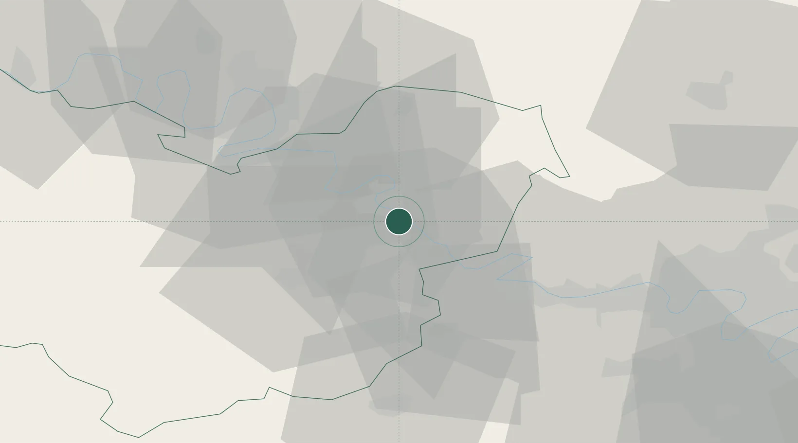
Saint-Pierre-la-Garenne

49.1500°, 1.4000°
921
Population
2
Transport functions

Transport Functions

Rail
Road
UN/LOCODE

Hub Profile

Place type
Populated place
GeoNames
Region
Normandy
GeoNames
Population
921
GeoNames
Time zone
Europe/Paris
GeoNames
Elevation
55 m
GeoNames

Location

Location of FRXPG
Natural Earth 10m (public domain) · Normandy · FRXPG · 49.15, 1.40GoogleOSMYandex

Nearby Logistics Neighbours

Cities
  1. 1Notre-Dame-de-l'Isle2 km
  2. 2Saint-Pierre-d'Autils4 km
  3. 3Gaillon5 km
  4. 4Muids10 km
  5. 5Les Trois Lacs11 km
Nearest neighbours — logibook spatial index (haversine) over the source coordinates
Ports
  1. 1Port Of Rouen41 km
  2. 2Dieppe90 km
  3. 3Honfleur91 km
  4. 4Deauville99 km
  5. 5Port Of Le Havre100 km
Nearest neighbours — logibook spatial index (haversine) over the source coordinates
Airports
  1. 1Évreux-Fauville (BA 105) Air Base19 km
  2. 2Rouen Vallée de Seine Airport31 km
  3. 3Pontoise-Cormeilles Aerodrome47 km
  4. 4Beauvais-Tillé airport62 km
  5. 5Toussus-le-Noble Airport68 km
Nearest neighbours — logibook spatial index (haversine) over the source coordinates
Trade Zones
  1. 1ZFU Évreux23 km
  2. 2ZFU Mantes-la-Jolie29 km
  3. 3ZFU Les Mureaux40 km
  4. 4ZFU Rouen Bihorel41 km
  5. 5ZFU Dreux et Sainte-Gemme-Moronval45 km
Nearest neighbours — logibook spatial index (haversine) over the source coordinates
DatabookThe Record of Consolidated Knowledge
France beyond logistics?
Browse databook

All Sources

LocationsUN/LOCODE
UN/LOCODE — free
LocationsGeoNames
CC BY 4.0
Portsthe NGA World Port Index
Public domain (US gov)
AirportsOurAirports
Public domain
Trade Zonesthe World Bank SEZ database
CC BY 4.0
Trade ZonesOpen Zone Map
CC BY
← France locations