Transport Functions
Port
Rail
Road
Hub Profile
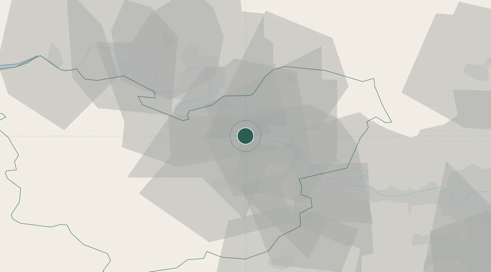
Place type
Populated place
Region
Normandy
Population
743
Time zone
Europe/Paris
Elevation
137 m
Location
Nearby Logistics Neighbours
Cities
- 1Vironvay2 km
- 2Muids4 km
- 3Louviers6 km
- 4Les Trois Lacs7 km
- 5Gaillon7 km
Ports
- 1Port Of Rouen31 km
- 2Honfleur79 km
- 3Dieppe82 km
- 4Deauville87 km
- 5Port Of Le Havre88 km
Airports
Trade Zones
- 1ZFU Évreux21 km
- 2ZFU Rouen Bihorel31 km
- 3ZFU Mantes-la-Jolie41 km
- 4ZFU Dreux et Sainte-Gemme-Moronval51 km
- 5ZFU Les Mureaux53 km
DatabookThe Record of Consolidated Knowledge
France beyond logistics?