Transport Functions
Port
Multimodal
Hub Profile
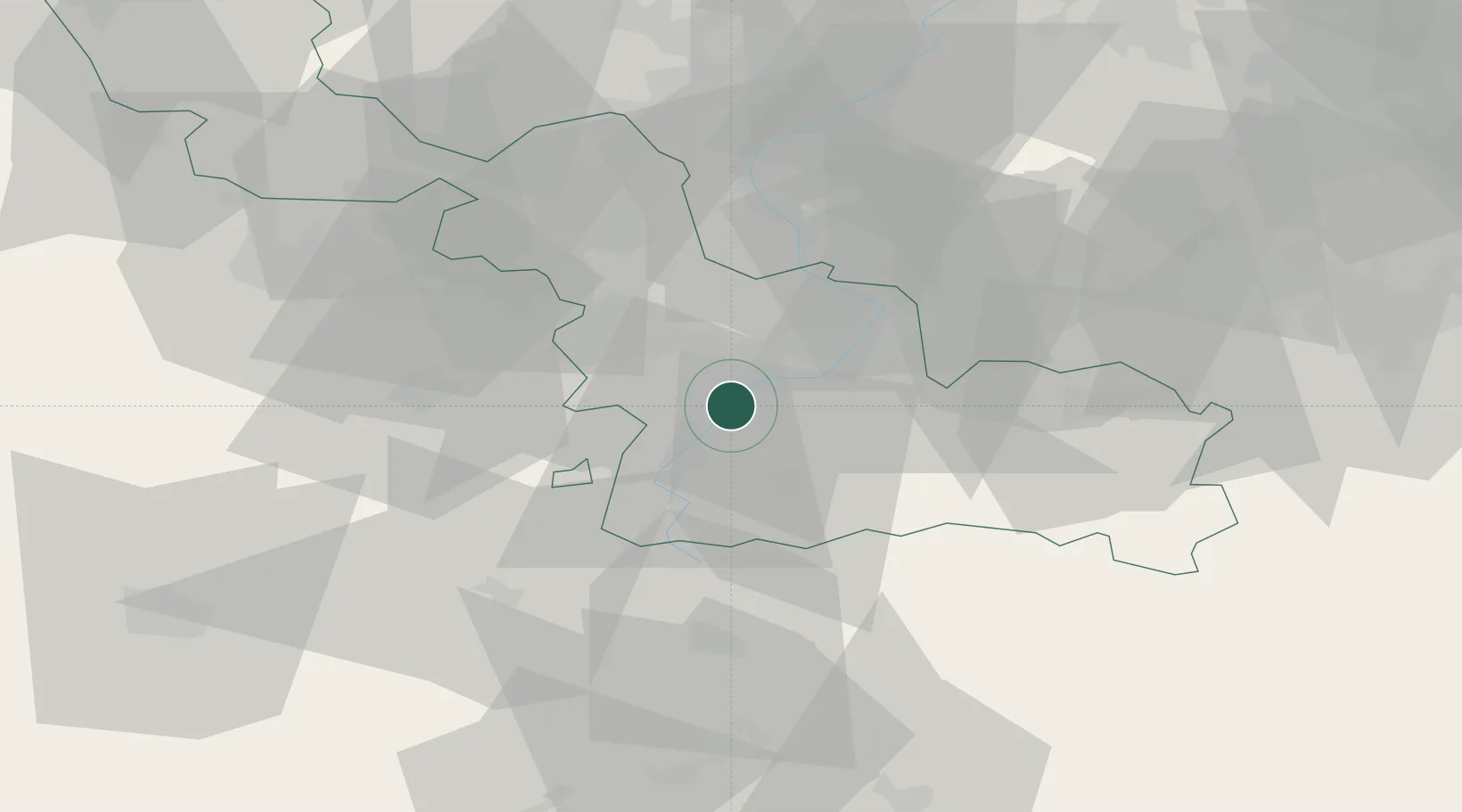
Place type
Populated place
Region
Hauts-de-France
Population
1,214
Time zone
Europe/Paris
Elevation
39 m
Location
Nearby Logistics Neighbours
Cities
- 1Bouchain2 km
- 2Paillencourt4 km
- 3Neuville-sur-Escaut4 km
- 4Escaudain8 km
- 5Thun-Saint-Martin8 km
Ports
- 1Ghent94 km
- 2Bruxelles99 km
- 3Nieuwpoort104 km
- 4Bruges108 km
- 5Oostende111 km
Airports
- 1Valenciennes-Denain Airfield12 km
- 2Lille Airport37 km
- 3Péronne Saint-Quentin Airfield49 km
- 4Chièvres Air Base50 km
- 5Merville-Calonne Airport62 km
DatabookThe Record of Consolidated Knowledge
France beyond logistics?