Transport Functions
Port
Road
Hub Profile
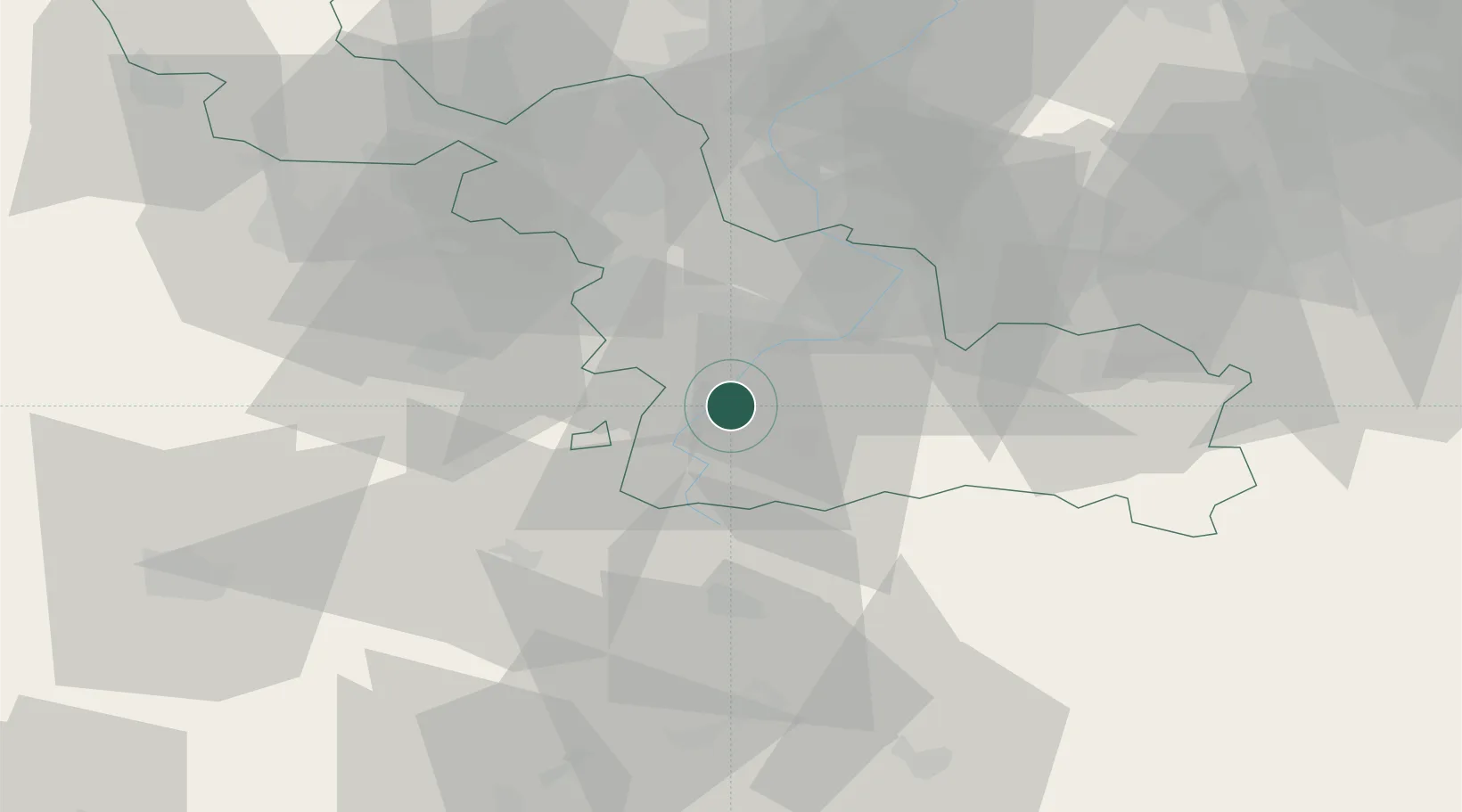
Place type
Populated place
Region
Hauts-de-France
Population
480
Time zone
Europe/Paris
Elevation
40 m
Location
Nearby Logistics Neighbours
Cities
- 1Ramillies2 km
- 2Paillencourt6 km
- 3Niergnies6 km
- 4Hordain8 km
- 5Rumilly-en-Cambrésis9 km
Ports
- 1Ghent102 km
- 2Bruxelles106 km
- 3Nieuwpoort110 km
- 4Bruges115 km
- 5Dunkerque Port Est117 km
Airports
- 1Valenciennes-Denain Airfield19 km
- 2Péronne Saint-Quentin Airfield41 km
- 3Lille Airport43 km
- 4Chièvres Air Base57 km
- 5Merville-Calonne Airport65 km
Trade Zones
DatabookThe Record of Consolidated Knowledge
France beyond logistics?