Transport Functions
Port
Road
Hub Profile
Place type
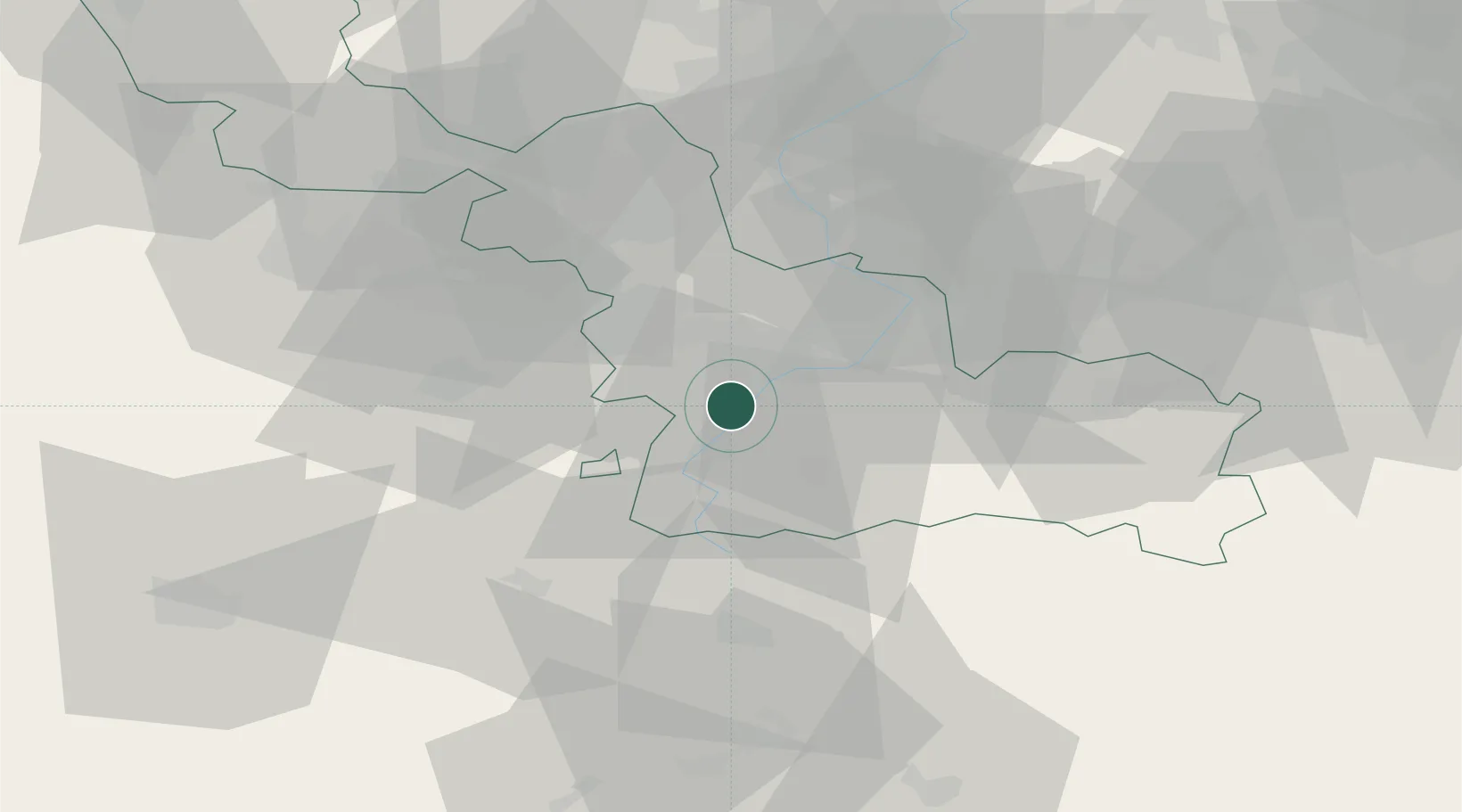
Populated place
Region
Hauts-de-France
Population
970
Time zone
Europe/Paris
Elevation
42 m
Location
Nearby Logistics Neighbours
Cities
- 1Hordain4 km
- 2Bouchain5 km
- 3Thun-Saint-Martin6 km
- 4Ramillies6 km
- 5Neuville-sur-Escaut8 km
Ports
- 1Ghent97 km
- 2Bruxelles103 km
- 3Nieuwpoort105 km
- 4Bruges109 km
- 5Dunkerque Port Est112 km
Airports
- 1Valenciennes-Denain Airfield16 km
- 2Lille Airport37 km
- 3Péronne Saint-Quentin Airfield46 km
- 4Chièvres Air Base54 km
- 5Merville-Calonne Airport60 km
Trade Zones
DatabookThe Record of Consolidated Knowledge
France beyond logistics?