Transport Functions
Rail
Road
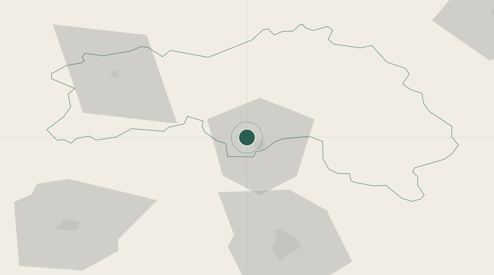
Hub Profile
Place type
Populated place
Region
Normandy
Population
854
Time zone
Europe/Paris
Elevation
157 m
Location
Nearby Logistics Neighbours
Cities
- 1Alençon5 km
- 2Valframbert6 km
- 3Ravigny8 km
- 4Fyé15 km
- 5La Fresnaye-sur-Chédouet16 km
Ports
- 1Port De Caen85 km
- 2Ouistreham93 km
- 3Deauville100 km
- 4Honfleur107 km
- 5Port Of Le Havre113 km
Airports
- 1Le Mans-Arnage Airport59 km
- 2Laval-Entrammes Airport75 km
- 3Caen Carpiquet airport87 km
- 4Deauville Normandie airport100 km
- 5Angers Marcé airport104 km
Trade Zones
- 1ZFU Alençon5 km
- 2ZFU Le Mans54 km
- 3ZFU La Guérinière, La Grâce de Dieu86 km
- 4ZFU Hérouville-Saint-Clair87 km
- 5ZFU Évreux103 km
DatabookThe Record of Consolidated Knowledge
France beyond logistics?