Transport Functions
Road
Multimodal
Hub Profile
Place type
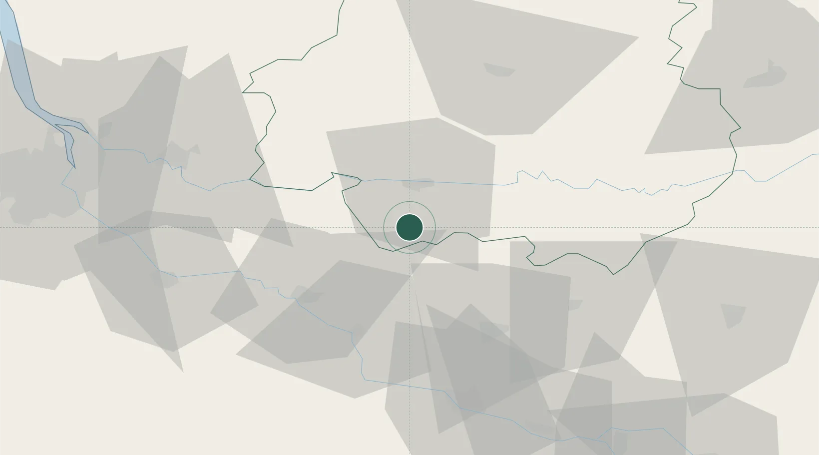
Populated place
Region
Nouvelle-Aquitaine
Population
245
Time zone
Europe/Paris
Elevation
141 m
Location
Nearby Logistics Neighbours
Cities
- 1Saint-Julien-D'Eymet3 km
- 2Mescoules5 km
- 3Ribagnac6 km
- 4Rouffignac-de-Sigoulès8 km
- 5Saint-Julien-Innocence-Eulalie8 km
Airports
Trade Zones
- 1Port de Bordeaux82 km
- 2ZFU Hauts de Garonne83 km
- 3ZFU Toulouse146 km
- 4ZFU La Rochelle207 km
- 5ZFU Clermont-Ferrand237 km
DatabookThe Record of Consolidated Knowledge
France beyond logistics?