Transport Functions
Multimodal
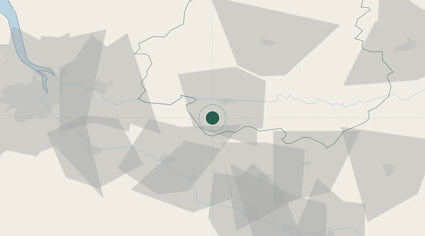
Hub Profile
Place type
Populated place
Region
Nouvelle-Aquitaine
Population
153
Time zone
Europe/Paris
Elevation
135 m
Location
Nearby Logistics Neighbours
Cities
- 1Pomport4 km
- 2Saint-Julien-D'Eymet4 km
- 3Rouffignac-de-Sigoulès5 km
- 4Cunèges5 km
- 5Singleyrac5 km
Airports
Trade Zones
- 1Port de Bordeaux77 km
- 2ZFU Hauts de Garonne79 km
- 3ZFU Toulouse151 km
- 4ZFU La Rochelle202 km
- 5ZFU Clermont-Ferrand238 km
DatabookThe Record of Consolidated Knowledge
France beyond logistics?