Transport Functions
Road
Multimodal
Hub Profile
Region
24
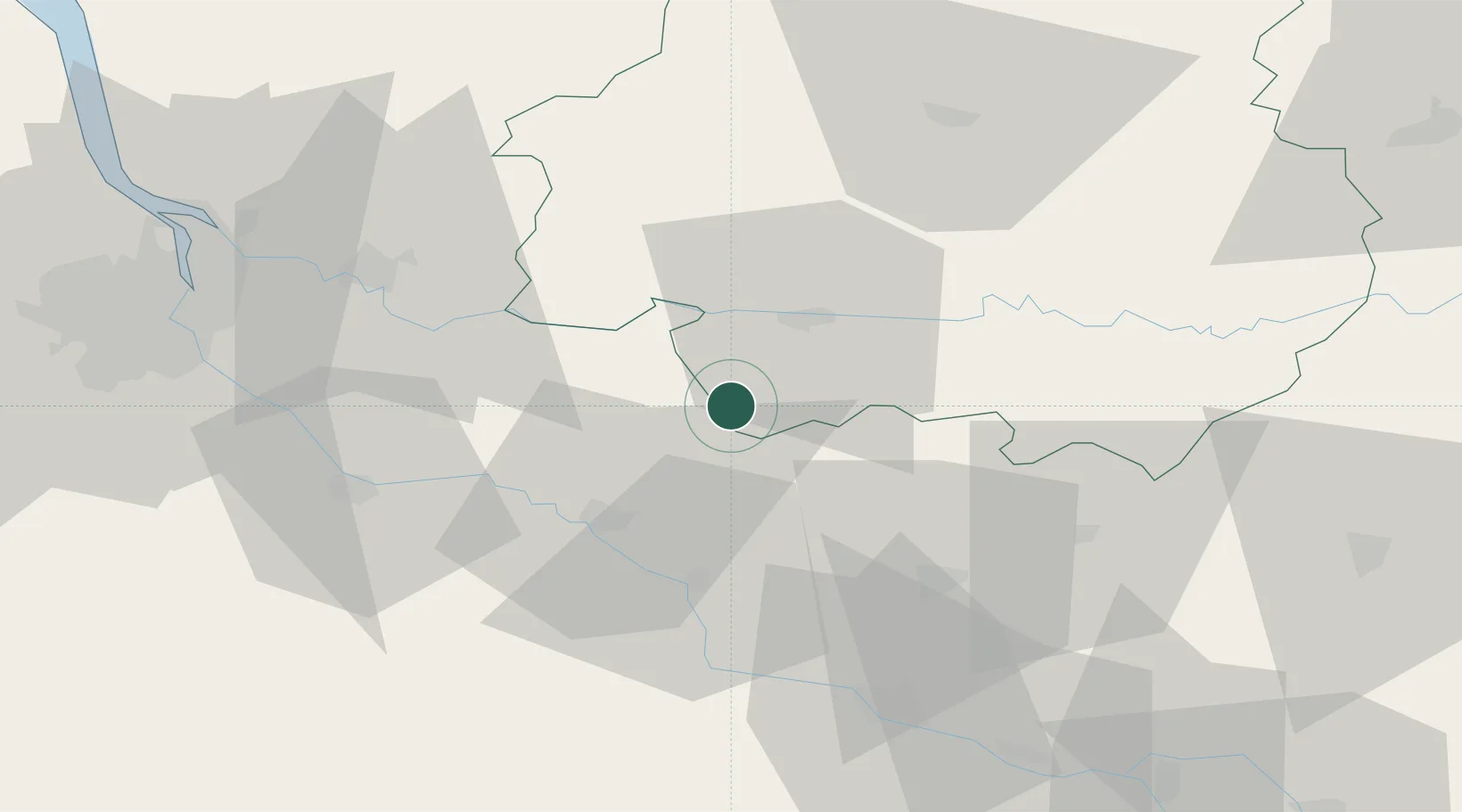
Location
Nearby Logistics Neighbours
Cities
- 1Puyguilhem4 km
- 2Saint-Julien-D'Eymet6 km
- 3Saint-Jean-de-Duras6 km
- 4Mescoules7 km
- 5Loubès-Bernac7 km
Airports
Trade Zones
- 1Port de Bordeaux75 km
- 2ZFU Hauts de Garonne76 km
- 3ZFU Toulouse149 km
- 4ZFU La Rochelle204 km
- 5Depósito Franco de Pasajes (Guipúzcoa)239 km
DatabookThe Record of Consolidated Knowledge
France beyond logistics?