UN/LOCODE hub · France
FRRDS

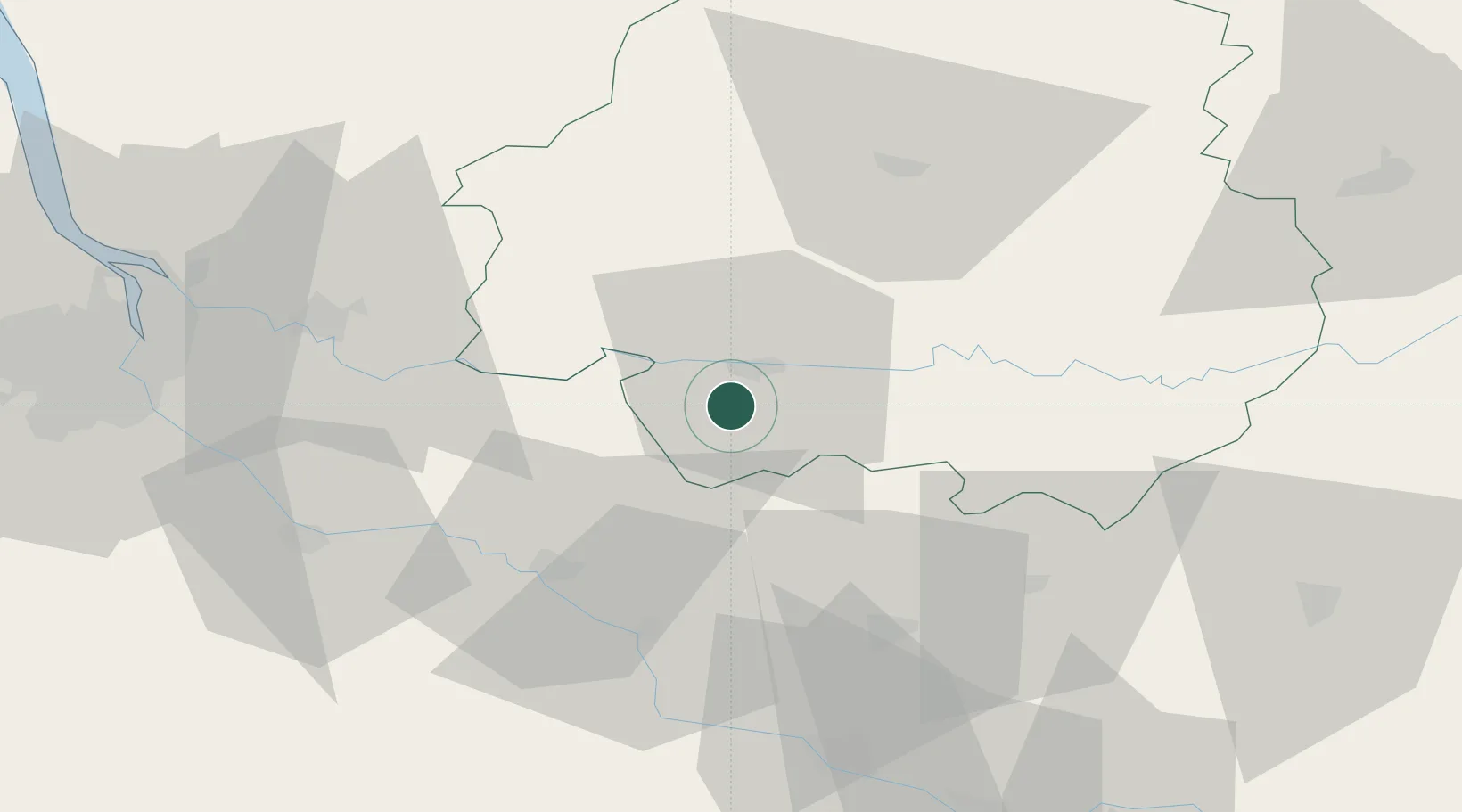
Rouffignac-de-Sigoulès

44.7833°, 0.4500°
298
Population
2
Transport functions

Transport Functions

Road
Multimodal
UN/LOCODE

Hub Profile

Place type
Populated place
GeoNames
Region
Nouvelle-Aquitaine
GeoNames
Population
298
GeoNames
Time zone
Europe/Paris
GeoNames
Elevation
152 m
GeoNames

Location

Location of FRRDS
Natural Earth 10m (public domain) · Nouvelle-Aquitaine · FRRDS · 44.78, 0.45GoogleOSMYandex

Nearby Logistics Neighbours

Cities
  1. 1Pomport3 km
  2. 2Saint-Laurent-des-Vignes4 km
  3. 3Juillac4 km
  4. 4Ribagnac4 km
  5. 5Mescoules5 km
Nearest neighbours — logibook spatial index (haversine) over the source coordinates
Ports
  1. 1Bordeaux81 km
  2. 2Ambes82 km
  3. 3Blaye96 km
  4. 4Pauillac105 km
  5. 5Le Verdon145 km
Nearest neighbours — logibook spatial index (haversine) over the source coordinates
Airports
  1. 1Bergerac Dordogne-Périgord airport7 km
  2. 2Périgueux-Bassillac Airport54 km
  3. 3Agen La Garenne airport69 km
  4. 4Brive Souillac airport86 km
  5. 5Bordeaux–Mérignac Airport92 km
Nearest neighbours — logibook spatial index (haversine) over the source coordinates
Trade Zones
  1. 1Port de Bordeaux79 km
  2. 2ZFU Hauts de Garonne81 km
  3. 3ZFU Toulouse153 km
  4. 4ZFU La Rochelle201 km
  5. 5ZFU Clermont-Ferrand234 km
Nearest neighbours — logibook spatial index (haversine) over the source coordinates
DatabookThe Record of Consolidated Knowledge
France beyond logistics?
Browse databook

All Sources

LocationsUN/LOCODE
UN/LOCODE — free
LocationsGeoNames
CC BY 4.0
Portsthe NGA World Port Index
Public domain (US gov)
AirportsOurAirports
Public domain
Trade Zonesthe World Bank SEZ database
CC BY 4.0
Trade ZonesOpen Zone Map
CC BY
← France locations