Transport Functions
Multimodal
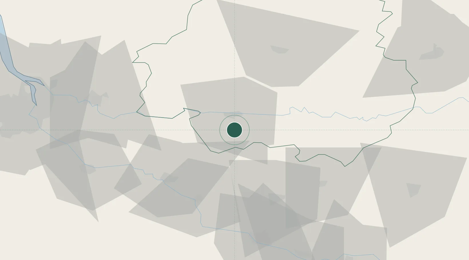
Hub Profile
Place type
Populated place
Region
Nouvelle-Aquitaine
Population
309
Time zone
Europe/Paris
Elevation
139 m
Location
Nearby Logistics Neighbours
Cities
- 1Colombier2 km
- 2Juillac4 km
- 3Rouffignac-de-Sigoulès4 km
- 4Conne-de-Labarde4 km
- 5Singleyrac6 km
Airports
Trade Zones
- 1Port de Bordeaux83 km
- 2ZFU Hauts de Garonne85 km
- 3ZFU Toulouse150 km
- 4ZFU La Rochelle205 km
- 5ZFU Clermont-Ferrand231 km
DatabookThe Record of Consolidated Knowledge
France beyond logistics?