Transport Functions
Multimodal
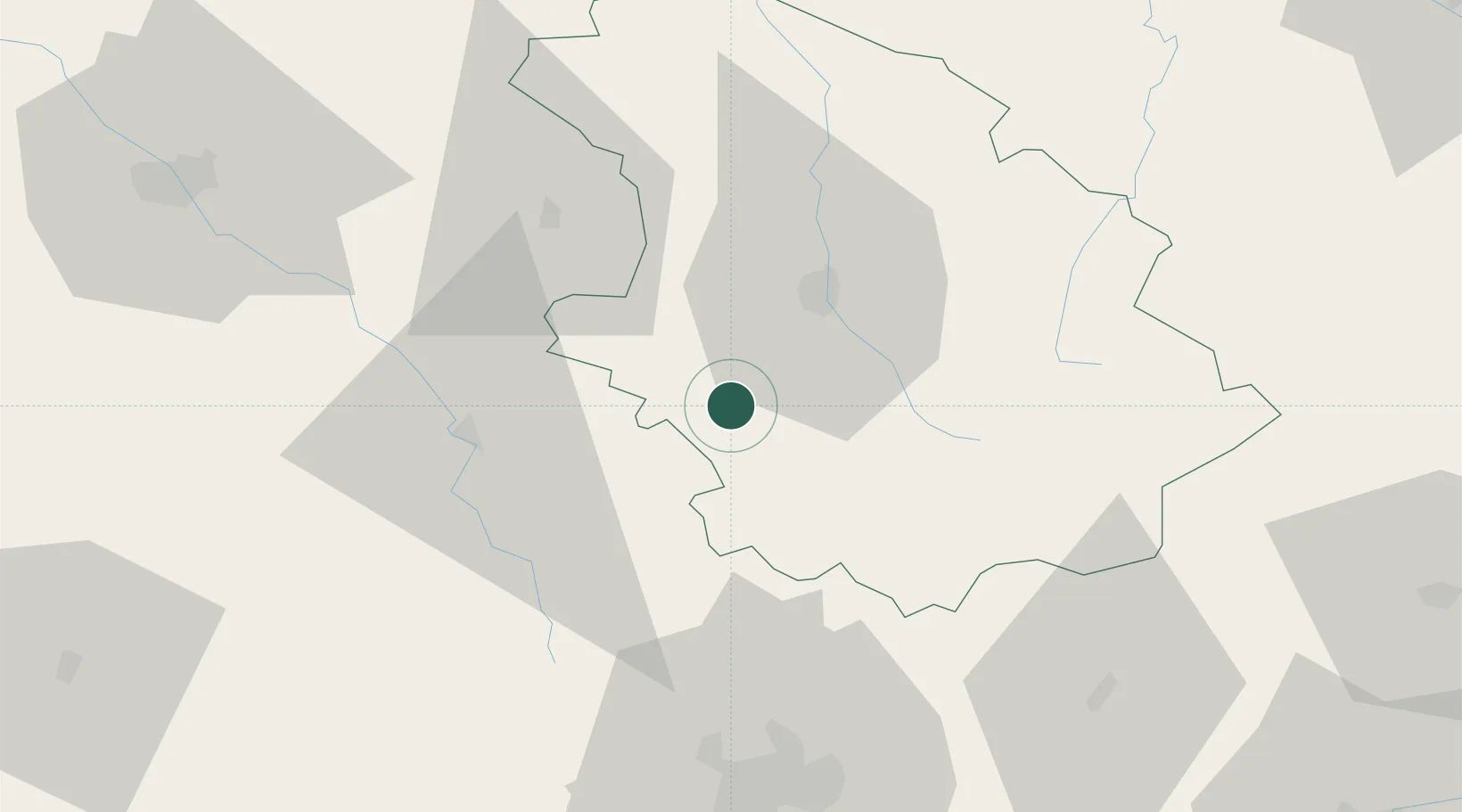
Hub Profile
Place type
Populated place
Region
Grand Est
Population
873
Time zone
Europe/Paris
Elevation
271 m
Location
Nearby Logistics Neighbours
Cities
- 1Giey-sur-Aujon6 km
- 2Chaumont23 km
- 3Louvières24 km
- 4Brethenay26 km
- 5Langres26 km
Ports
- 1Bruxelles330 km
- 2Port Of Rouen334 km
- 3Saint-Valery-Sur-Somme351 km
- 4Le Treport356 km
- 5Ghent360 km
Airports
Trade Zones
DatabookThe Record of Consolidated Knowledge
France beyond logistics?