Transport Functions
Road
Multimodal
Hub Profile
Region
72
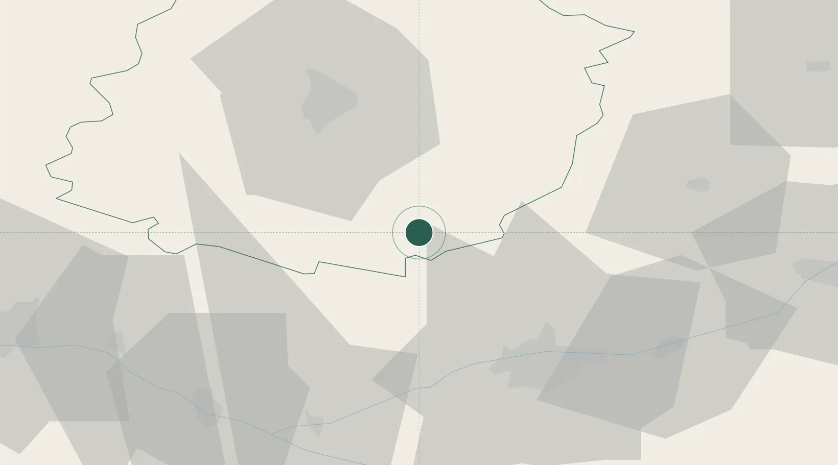
Location
Nearby Logistics Neighbours
Cities
- 1Marçon8 km
- 2Chahaignes9 km
- 3Bueil-en-Touraine11 km
- 4Lhomme12 km
- 5La Chartre-sur-le-Loir14 km
Ports
- 1Nantes159 km
- 2Port De Caen176 km
- 3Ouistreham185 km
- 4Deauville189 km
- 5Honfleur193 km
Airports
- 1Le Mans-Arnage Airport34 km
- 2Tours Val de Loire Airport36 km
- 3Angers Marcé airport56 km
- 4Châteaudun Airfield83 km
- 5Laval-Entrammes Airport95 km
Trade Zones
- 1ZFU Le Mans40 km
- 2ZFU Blois65 km
- 3ZFU Angers79 km
- 4ZFU Alençon87 km
- 5ZFU Orléans109 km
DatabookThe Record of Consolidated Knowledge
France beyond logistics?