Transport Functions
Multimodal
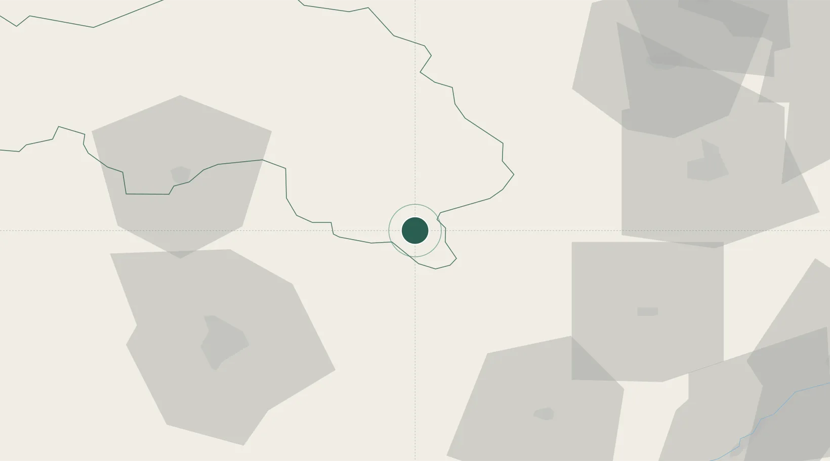
Hub Profile
Place type
Populated place
Region
Normandy
Population
670
Time zone
Europe/Paris
Elevation
106 m
Location
Nearby Logistics Neighbours
Cities
- 1Le Theil-sur-Huisne2 km
- 2L'Aiguillon-la-Rouge2 km
- 3Sérigny14 km
- 4Lamnay19 km
- 5Thiron-Gardais21 km
Ports
- 1Port De Caen127 km
- 2Deauville129 km
- 3Honfleur131 km
- 4Ouistreham132 km
- 5Port Of Rouen132 km
Airports
Trade Zones
- 1ZFU Alençon50 km
- 2ZFU Le Mans55 km
- 3ZFU Dreux et Sainte-Gemme-Moronval71 km
- 4ZFU Blois88 km
- 5ZFU Évreux88 km
DatabookThe Record of Consolidated Knowledge
France beyond logistics?