Transport Functions
Port
Rail
Road
Hub Profile
Region
61
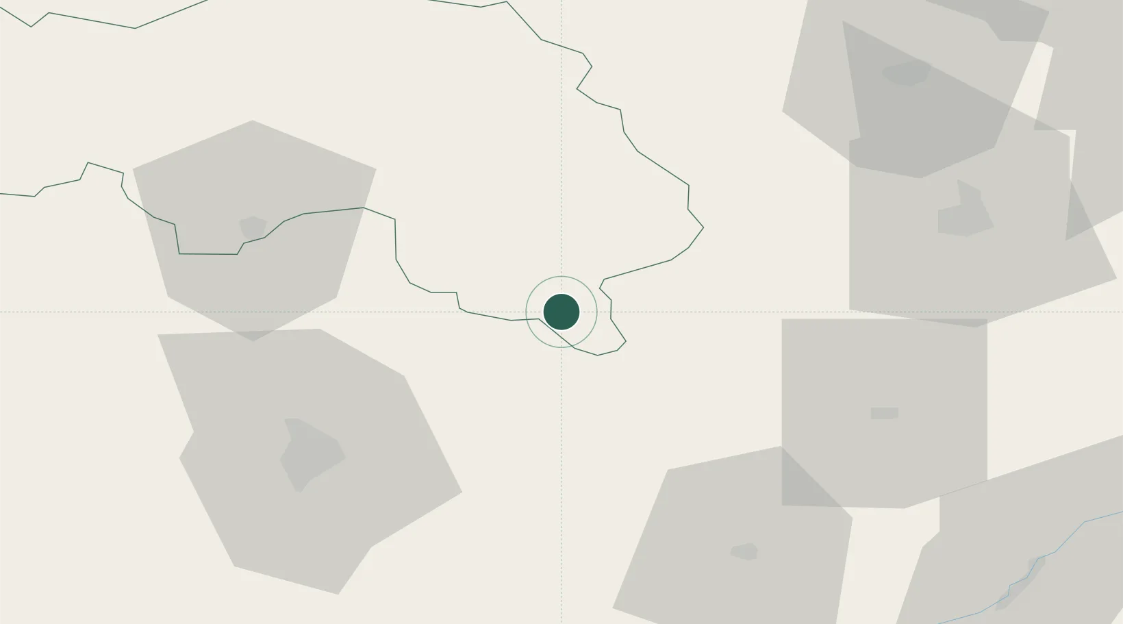
Location
Nearby Logistics Neighbours
Cities
- 1L'Aiguillon-la-Rouge0 km
- 2La Rouge2 km
- 3Sérigny14 km
- 4Lamnay17 km
- 5Tuffé22 km
Ports
- 1Port De Caen128 km
- 2Deauville130 km
- 3Honfleur133 km
- 4Ouistreham133 km
- 5Port Of Rouen134 km
Airports
Trade Zones
- 1ZFU Alençon49 km
- 2ZFU Le Mans53 km
- 3ZFU Dreux et Sainte-Gemme-Moronval73 km
- 4ZFU Blois87 km
- 5ZFU Évreux91 km
DatabookThe Record of Consolidated Knowledge
France beyond logistics?