Transport Functions
Rail
Road
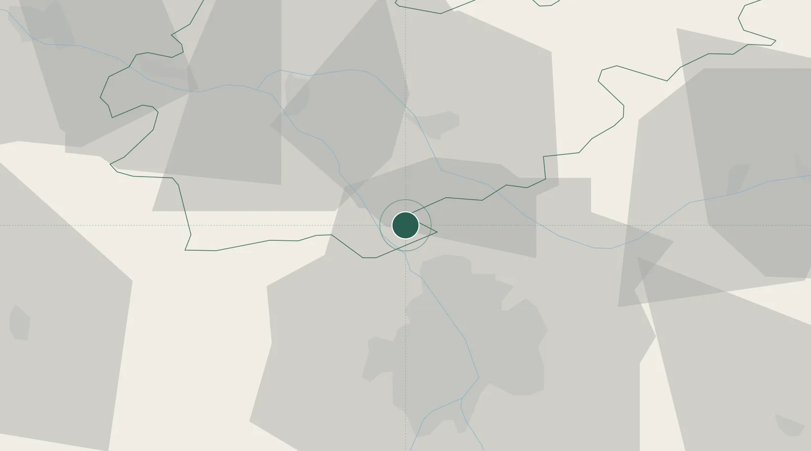
Hub Profile
Place type
Populated place
Region
Occitanie
Population
3,119
Time zone
Europe/Paris
Elevation
110 m
Location
Nearby Logistics Neighbours
Cities
- 1Fabas3 km
- 2Ondes6 km
- 3Montbartier8 km
- 4Saint-Jory10 km
- 5Villaudric11 km
Ports
- 1Port-La-Nouvelle169 km
- 2Bordeaux188 km
- 3Ambes196 km
- 4Sete199 km
- 5Port-Vendres208 km
Airports
Trade Zones
- 1ZFU Toulouse28 km
- 2ZFU Béziers164 km
- 3ZFU Perpignan180 km
- 4ZFU Hauts de Garonne186 km
- 5Port de Bordeaux189 km
DatabookThe Record of Consolidated Knowledge
France beyond logistics?