Transport Functions
Rail
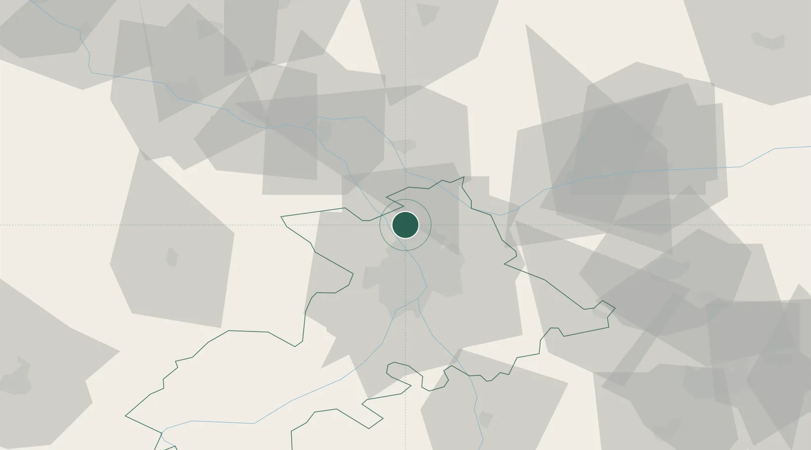
Hub Profile
Place type
Populated place
Region
Occitanie
Population
4,564
Time zone
Europe/Paris
Elevation
120 m
Logistics facilities
1
Location
Nearby Logistics Neighbours
Cities
- 1Ondes6 km
- 2Toulouse6 km
- 3Seilh7 km
- 4Merville8 km
- 5Saint-Alban9 km
Ports
- 1Port-La-Nouvelle161 km
- 2Sete192 km
- 3Bordeaux197 km
- 4Port-Vendres198 km
- 5Ambes206 km
Airports
Trade Zones
- 1ZFU Toulouse18 km
- 2ZFU Béziers157 km
- 3ZFU Perpignan171 km
- 4ZFU Hauts de Garonne195 km
- 5Port de Bordeaux198 km
DatabookThe Record of Consolidated Knowledge
France beyond logistics?