UN/LOCODE hub · France
FRGD3

Valeyrac

45.4000°, -0.9000°
1
Transport functions

Transport Functions

Multimodal
UN/LOCODE

Hub Profile

Place type
Populated place
GeoNames
Region
Nouvelle-Aquitaine
GeoNames
Time zone
Europe/Paris
GeoNames
Elevation
5 m
GeoNames

Location

Location of FRGD3
Natural Earth 10m (public domain) · Nouvelle-Aquitaine · FRGD3 · 45.40, -0.90GoogleOSMYandex

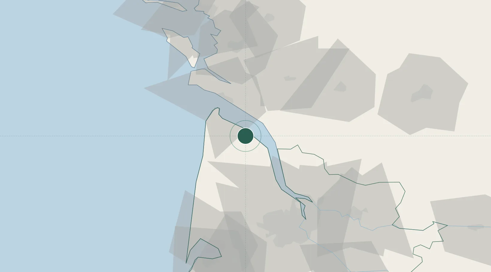
Nearby Logistics Neighbours

Cities
  1. 1Port de Goulee0 km
  2. 2Couquèques7 km
  3. 3Civrac-en-Médoc7 km
  4. 4Queyrac8 km
  5. 5Prignac-en-Médoc8 km
Nearest neighbours — logibook spatial index (haversine) over the source coordinates
Ports
  1. 1Le Verdon20 km
  2. 2Pauillac25 km
  3. 3Blaye35 km
  4. 4Ambes51 km
  5. 5Tonnay Charente59 km
Nearest neighbours — logibook spatial index (haversine) over the source coordinates
Airports
  1. 1Royan-Médis Airport26 km
  2. 2Cognac-Châteaubernard (BA 709) Air Base54 km
  3. 3Rochefort-Saint-Agnant (BA 721) Airport55 km
  4. 4Bordeaux–Mérignac Airport65 km
  5. 5La Rochelle Île de Ré Airport90 km
Nearest neighbours — logibook spatial index (haversine) over the source coordinates
Trade Zones
  1. 1Port de Bordeaux62 km
  2. 2ZFU Hauts de Garonne68 km
  3. 3ZFU La Rochelle88 km
  4. 4ZFU Nantes et Saint-Herblain212 km
  5. 5ZFU Angers233 km
Nearest neighbours — logibook spatial index (haversine) over the source coordinates
DatabookThe Record of Consolidated Knowledge
France beyond logistics?
Browse databook

All Sources

LocationsUN/LOCODE
UN/LOCODE — free
Portsthe NGA World Port Index
Public domain (US gov)
AirportsOurAirports
Public domain
Trade Zonesthe World Bank SEZ database
CC BY 4.0
Trade ZonesOpen Zone Map
CC BY
← France locations