Transport Functions
Rail
Road
Multimodal
Hub Profile
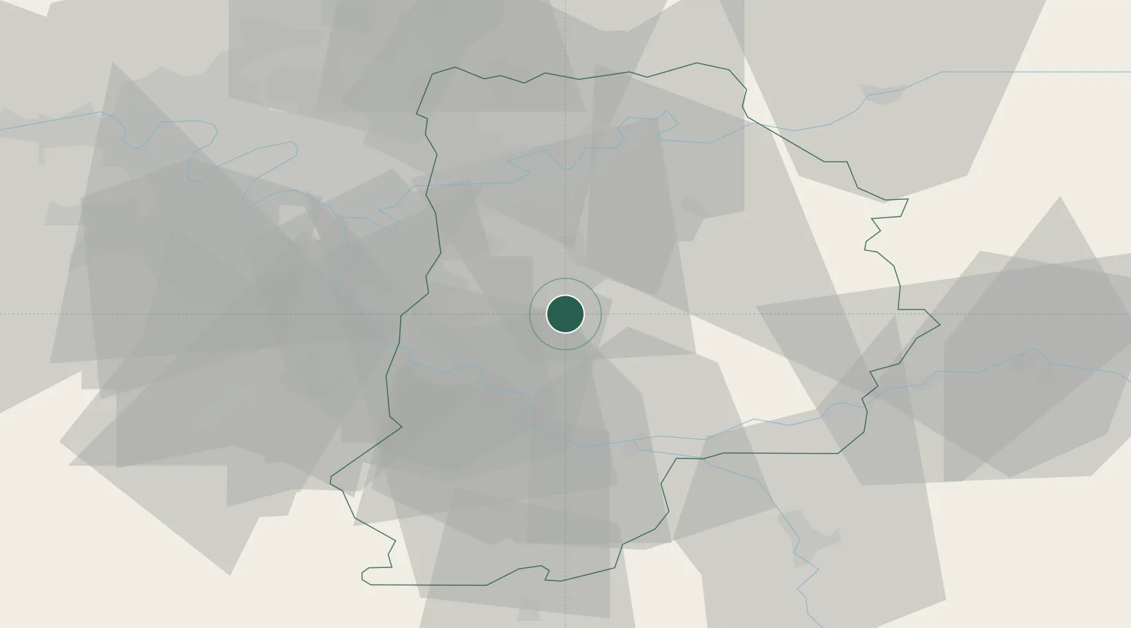
Place type
Populated place
Region
Île-de-France
Time zone
Europe/Paris
Elevation
96 m
Location
Nearby Logistics Neighbours
Cities
- 1Mormant5 km
- 2Grandpuits-Bailly-Carrois11 km
- 3Grisy-Suisnes13 km
- 4Gretz-Armainvilliers13 km
- 5Crèvecur-en-Brie14 km
Ports
- 1Port Of Rouen158 km
- 2Le Treport192 km
- 3Dieppe192 km
- 4Saint-Valery-Sur-Somme194 km
- 5Honfleur210 km
Airports
Trade Zones
DatabookThe Record of Consolidated Knowledge
France beyond logistics?