Transport Functions
Rail
Road
Multimodal
Hub Profile
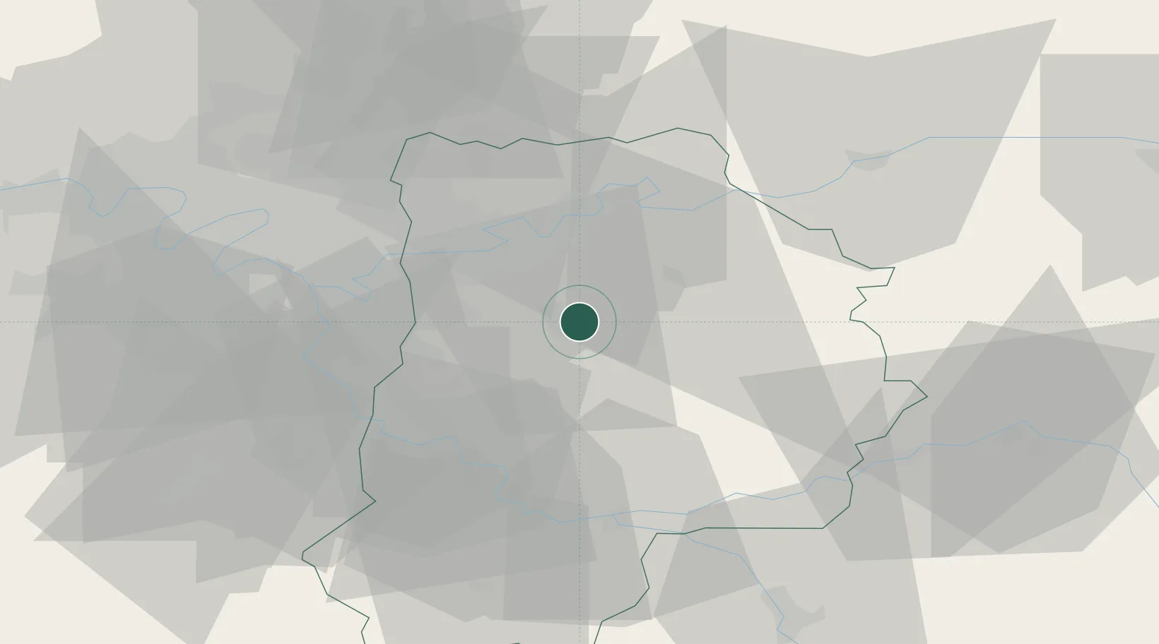
Region
77
Location
Nearby Logistics Neighbours
Cities
- 1Pommeuse11 km
- 2Gretz-Armainvilliers12 km
- 3La Chapelle-sur-Crécy13 km
- 4Verneuil-l'Étang14 km
- 5Maisoncelles-en-Brie15 km
Ports
- 1Port Of Rouen155 km
- 2Le Treport184 km
- 3Saint-Valery-Sur-Somme184 km
- 4Dieppe186 km
- 5Honfleur209 km
Airports
Trade Zones
- 1ZFU Meaux23 km
- 2ZFU Champigny-sur-Marne et Chennevières-sur-Marne27 km
- 3ZFU Melun30 km
- 4ZFU Epinay-sous-Sénart30 km
- 5ZFU Neuilly-sur-Marne30 km
DatabookThe Record of Consolidated Knowledge
France beyond logistics?