Transport Functions
Rail
Fixed Transport
Hub Profile
Place type
Populated place
Region
Île-de-France
Time zone
Europe/Paris
Elevation
114 m
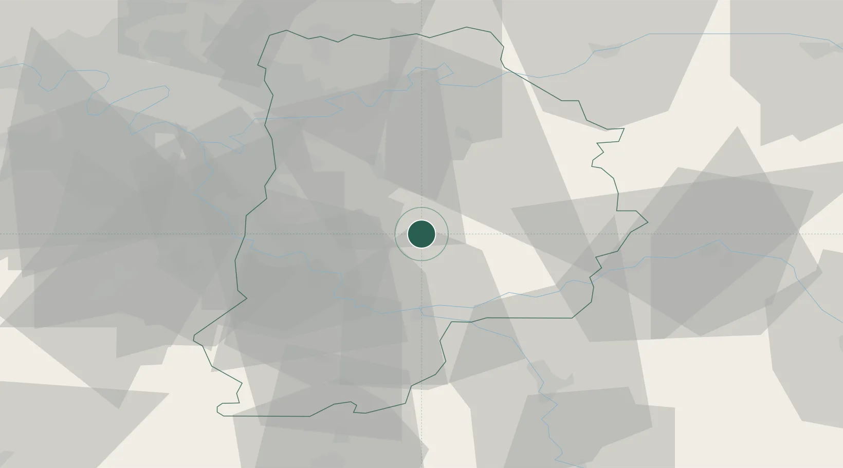
Location
Nearby Logistics Neighbours
Cities
- 1Nangis4 km
- 2Mormant6 km
- 3Verneuil-l'Étang11 km
- 4Jouy-le-Châtel15 km
- 5Machault18 km
Ports
- 1Port Of Rouen169 km
- 2Le Treport202 km
- 3Saint-Valery-Sur-Somme203 km
- 4Dieppe203 km
- 5Honfleur221 km
Airports
Trade Zones
DatabookThe Record of Consolidated Knowledge
France beyond logistics?