Transport Functions
Road
Multimodal
Hub Profile
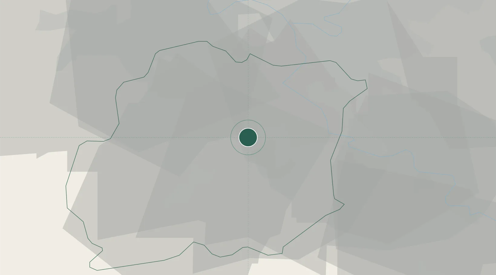
Place type
Populated place
Region
Île-de-France
Population
1,256
Time zone
Europe/Paris
Elevation
78 m
Location
Nearby Logistics Neighbours
Cities
- 1Marolles-en-Hurepoix1 km
- 2Saint-Germain-lès-Arpajon5 km
- 3Brétigny-sur-Orge6 km
- 4Fontenay-le-Vicomte6 km
- 5Lardy7 km
Ports
- 1Port Of Rouen134 km
- 2Dieppe176 km
- 3Honfleur180 km
- 4Le Treport180 km
- 5Deauville186 km
Airports
Trade Zones
- 1ZFU Corbeil-Evry9 km
- 2ZFU Grigny Viry-Châtillon12 km
- 3ZFU Epinay-sous-Sénart19 km
- 4ZFU Choisy-le-Roi et Orly23 km
- 5ZFU Melun24 km
DatabookThe Record of Consolidated Knowledge
France beyond logistics?