Transport Functions
Multimodal
Hub Profile
Place type
Populated place
Region
Pays de la Loire
Population
758
Time zone
Europe/Paris
Elevation
47 m
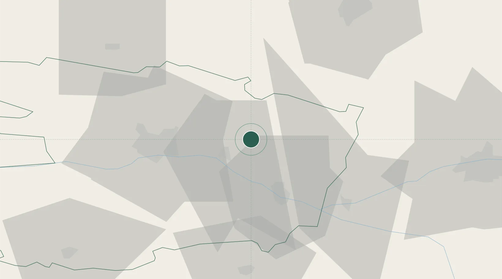
Location
Nearby Logistics Neighbours
Cities
- 1Mazé7 km
- 2Baugé10 km
- 3La Ménitré11 km
- 4Corné13 km
- 5Longue-Jumelles13 km
Ports
- 1Nantes109 km
- 2Donges143 km
- 3Montoir148 km
- 4St Nazaire153 km
- 5Les Sables D' Olonne164 km
Airports
- 1Angers Marcé airport13 km
- 2Le Mans-Arnage Airport59 km
- 3Tours Val de Loire Airport69 km
- 4Laval-Entrammes Airport74 km
- 5Poitiers-Biard Airport106 km
Trade Zones
- 1ZFU Angers31 km
- 2ZFU Le Mans60 km
- 3ZFU Alençon107 km
- 4ZFU Blois110 km
- 5ZFU Nantes et Saint-Herblain118 km
DatabookThe Record of Consolidated Knowledge
France beyond logistics?