Transport Functions
Multimodal
Hub Profile
Place type
Populated place
Region
Pays de la Loire
Population
2,706
Time zone
Europe/Paris
Elevation
28 m
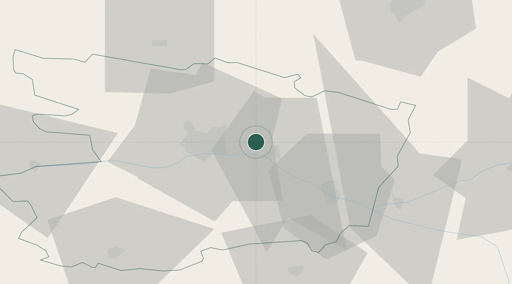
Location
Nearby Logistics Neighbours
Cities
- 1Mazé7 km
- 2Blaison-Gohier8 km
- 3Corzé10 km
- 4La Ménitré10 km
- 5Saint-Jean-des-Mauvrets11 km
Ports
- 1Nantes96 km
- 2Donges131 km
- 3Montoir136 km
- 4St Nazaire141 km
- 5Les Sables D' Olonne154 km
Airports
- 1Angers Marcé airport11 km
- 2Le Mans-Arnage Airport68 km
- 3Laval-Entrammes Airport69 km
- 4Tours Val de Loire Airport81 km
- 5Nantes Atlantique Airport101 km
Trade Zones
- 1ZFU Angers19 km
- 2ZFU Le Mans67 km
- 3ZFU Nantes et Saint-Herblain105 km
- 4ZFU Alençon112 km
- 5ZFU Blois122 km
DatabookThe Record of Consolidated Knowledge
France beyond logistics?