Transport Functions
Road
Multimodal
Hub Profile
Place type
Populated place
Region
Pays de la Loire
Population
4,094
Time zone
Europe/Paris
Elevation
26 m
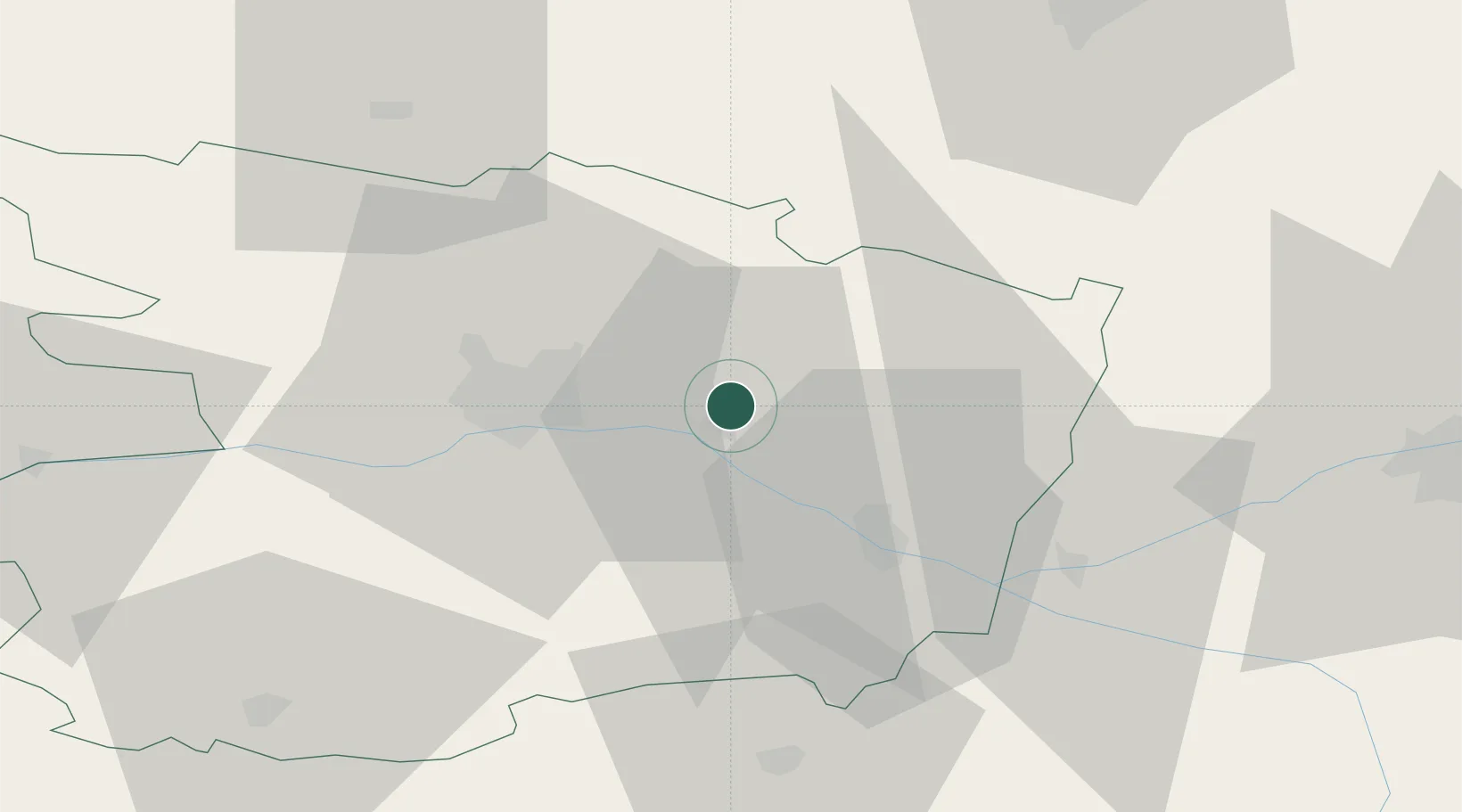
Location
Nearby Logistics Neighbours
Cities
- 1La Ménitré6 km
- 2Corné7 km
- 3Fontaine-Guérin7 km
- 4Blaison-Gohier9 km
- 5Coutures11 km
Ports
- 1Nantes102 km
- 2Donges137 km
- 3Montoir142 km
- 4St Nazaire147 km
- 5Les Sables D' Olonne157 km
Airports
- 1Angers Marcé airport13 km
- 2Le Mans-Arnage Airport66 km
- 3Laval-Entrammes Airport74 km
- 4Tours Val de Loire Airport75 km
- 5Poitiers-Biard Airport105 km
Trade Zones
- 1ZFU Angers25 km
- 2ZFU Le Mans66 km
- 3ZFU Nantes et Saint-Herblain111 km
- 4ZFU Alençon112 km
- 5ZFU Blois116 km
DatabookThe Record of Consolidated Knowledge
France beyond logistics?