Transport Functions
Rail
Road
Hub Profile
Place type
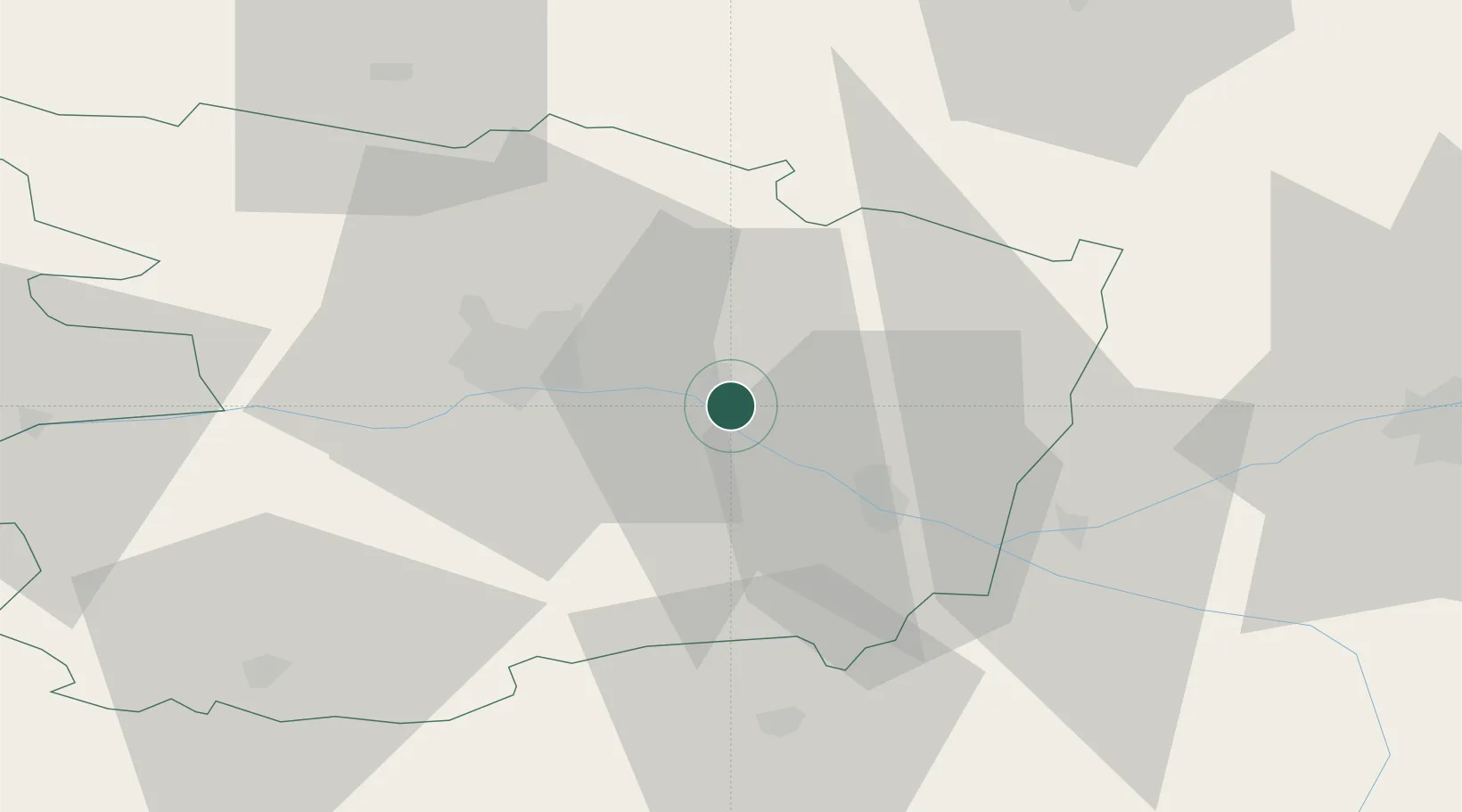
Populated place
Region
Pays de la Loire
Population
2,020
Time zone
Europe/Paris
Elevation
22 m
Location
Nearby Logistics Neighbours
Cities
- 1Mazé6 km
- 2Saint-Georges-des-Sept-Voies6 km
- 3Coutures7 km
- 4Blaison-Gohier8 km
- 5Corné10 km
Ports
- 1Nantes101 km
- 2Donges136 km
- 3Montoir141 km
- 4St Nazaire146 km
- 5Les Sables D' Olonne154 km
Airports
- 1Angers Marcé airport18 km
- 2Le Mans-Arnage Airport70 km
- 3Tours Val de Loire Airport75 km
- 4Laval-Entrammes Airport79 km
- 5Poitiers-Biard Airport100 km
Trade Zones
- 1ZFU Angers27 km
- 2ZFU Le Mans71 km
- 3ZFU Nantes et Saint-Herblain110 km
- 4ZFU Blois117 km
- 5ZFU Alençon117 km
DatabookThe Record of Consolidated Knowledge
France beyond logistics?