Transport Functions
Multimodal
Hub Profile
Place type
Populated place
Region
Pays de la Loire
Time zone
Europe/Paris
Elevation
24 m
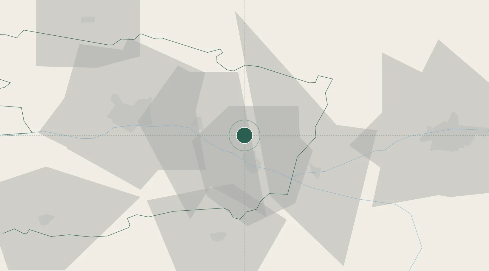
Location
Nearby Logistics Neighbours
Cities
- 1Neuillé8 km
- 2La Ménitré13 km
- 3Mouliherne13 km
- 4Fontaine-Guérin13 km
- 5Saumur13 km
Ports
- 1Nantes113 km
- 2Donges149 km
- 3Montoir154 km
- 4St Nazaire159 km
- 5La Rochelle159 km
Airports
- 1Angers Marcé airport25 km
- 2Tours Val de Loire Airport63 km
- 3Le Mans-Arnage Airport67 km
- 4Laval-Entrammes Airport87 km
- 5Poitiers-Biard Airport94 km
Trade Zones
- 1ZFU Angers39 km
- 2ZFU Le Mans69 km
- 3ZFU Blois105 km
- 4ZFU Alençon117 km
- 5ZFU Nantes et Saint-Herblain122 km
DatabookThe Record of Consolidated Knowledge
France beyond logistics?