Transport Functions
Multimodal
Hub Profile
Place type
Populated place
Region
Pays de la Loire
Population
1,572
Time zone
Europe/Paris
Elevation
88 m
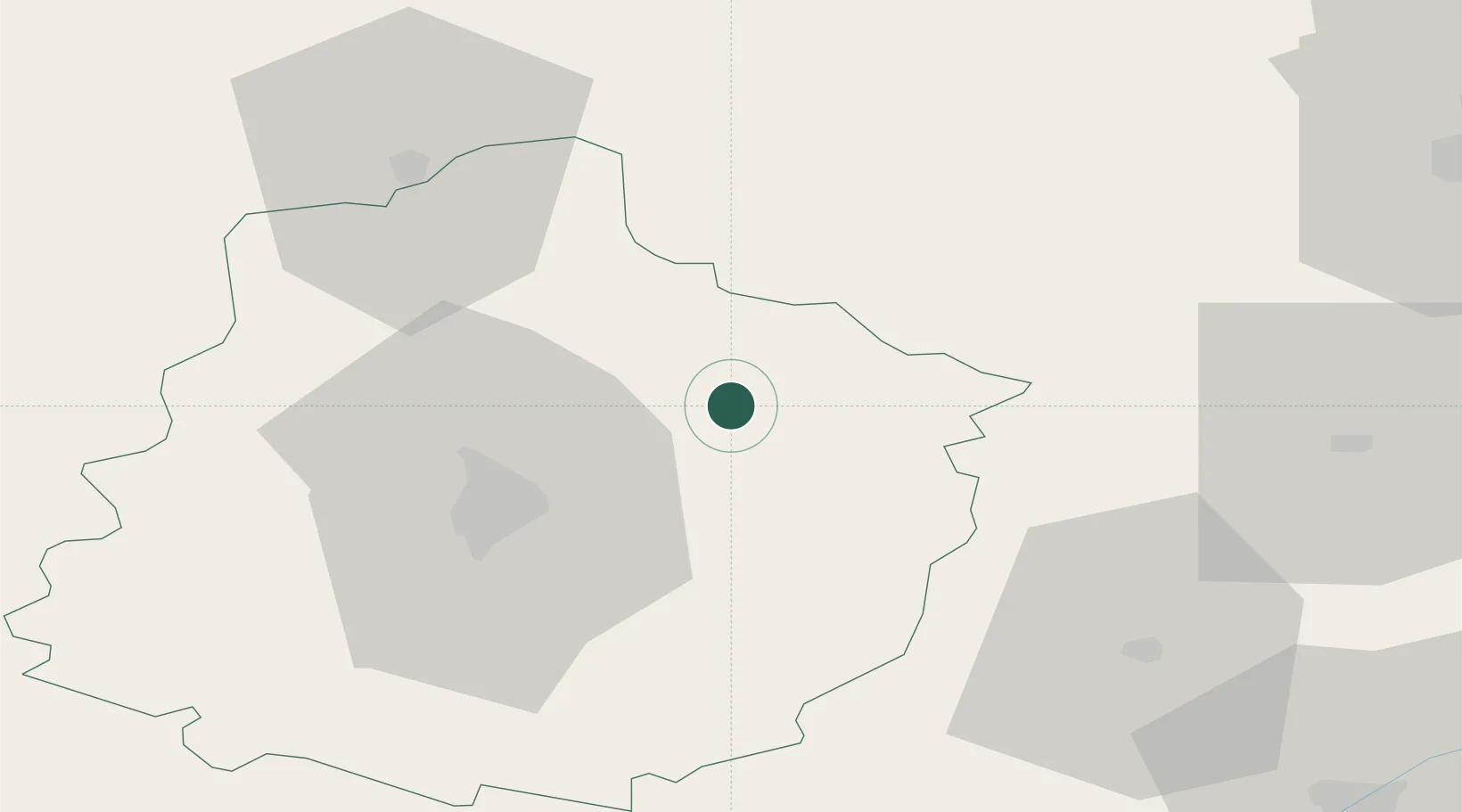
Location
Nearby Logistics Neighbours
Cities
- 1Lamnay15 km
- 2Ardenay-sur-Mérize15 km
- 3Courceboeufs17 km
- 4Torce-Viviers-en-Charnie20 km
- 5Saint-Mars-sous-Ballon21 km
Ports
- 1Port De Caen135 km
- 2Ouistreham141 km
- 3Deauville143 km
- 4Honfleur146 km
- 5Port Of Rouen154 km
Airports
- 1Le Mans-Arnage Airport30 km
- 2Châteaudun Airfield64 km
- 3Tours Val de Loire Airport78 km
- 4Angers Marcé airport88 km
- 5Orléans-Bricy (BA 123) Air Base94 km
Trade Zones
- 1ZFU Le Mans33 km
- 2ZFU Alençon48 km
- 3ZFU Blois82 km
- 4ZFU Dreux et Sainte-Gemme-Moronval95 km
- 5ZFU Orléans102 km
DatabookThe Record of Consolidated Knowledge
France beyond logistics?