Transport Functions
Multimodal
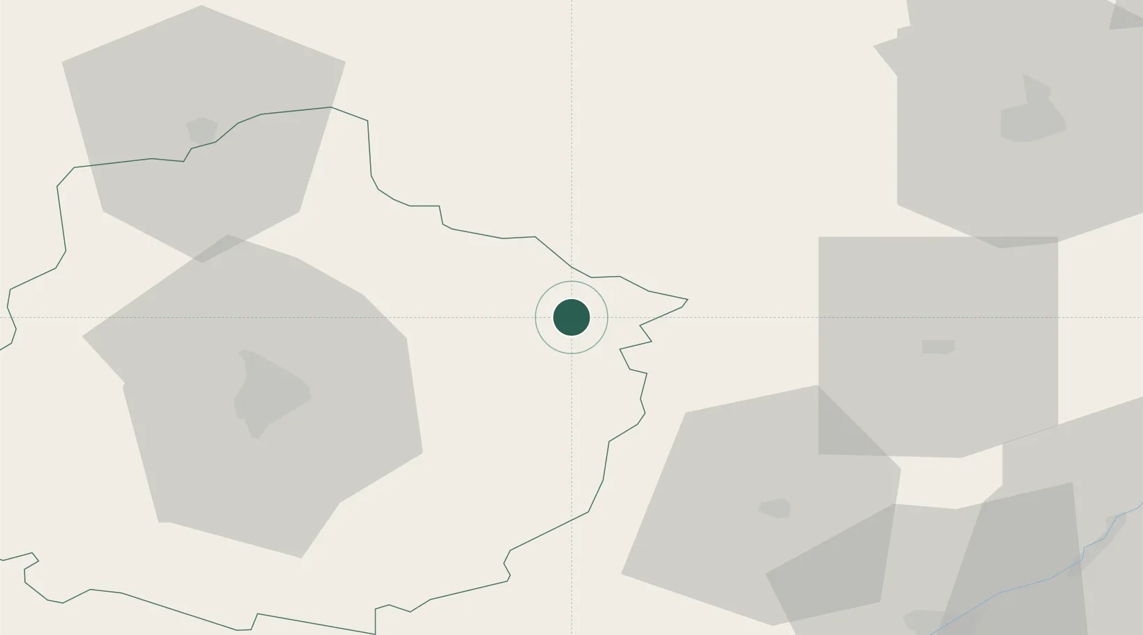
Hub Profile
Place type
Populated place
Region
Pays de la Loire
Population
865
Time zone
Europe/Paris
Elevation
139 m
Location
Nearby Logistics Neighbours
Cities
- 1Tuffé15 km
- 2Le Theil-sur-Huisne17 km
- 3L'Aiguillon-la-Rouge17 km
- 4La Rouge19 km
- 5Ardenay-sur-Mérize26 km
Ports
- 1Port De Caen142 km
- 2Deauville147 km
- 3Ouistreham148 km
- 4Honfleur149 km
- 5Port Of Rouen151 km
Airports
- 1Le Mans-Arnage Airport43 km
- 2Châteaudun Airfield50 km
- 3Tours Val de Loire Airport76 km
- 4Orléans-Bricy (BA 123) Air Base79 km
- 5Angers Marcé airport99 km
Trade Zones
- 1ZFU Le Mans46 km
- 2ZFU Alençon59 km
- 3ZFU Blois72 km
- 4ZFU Dreux et Sainte-Gemme-Moronval86 km
- 5ZFU Orléans88 km
DatabookThe Record of Consolidated Knowledge
France beyond logistics?