UN/LOCODE hub · France
FRMBQ
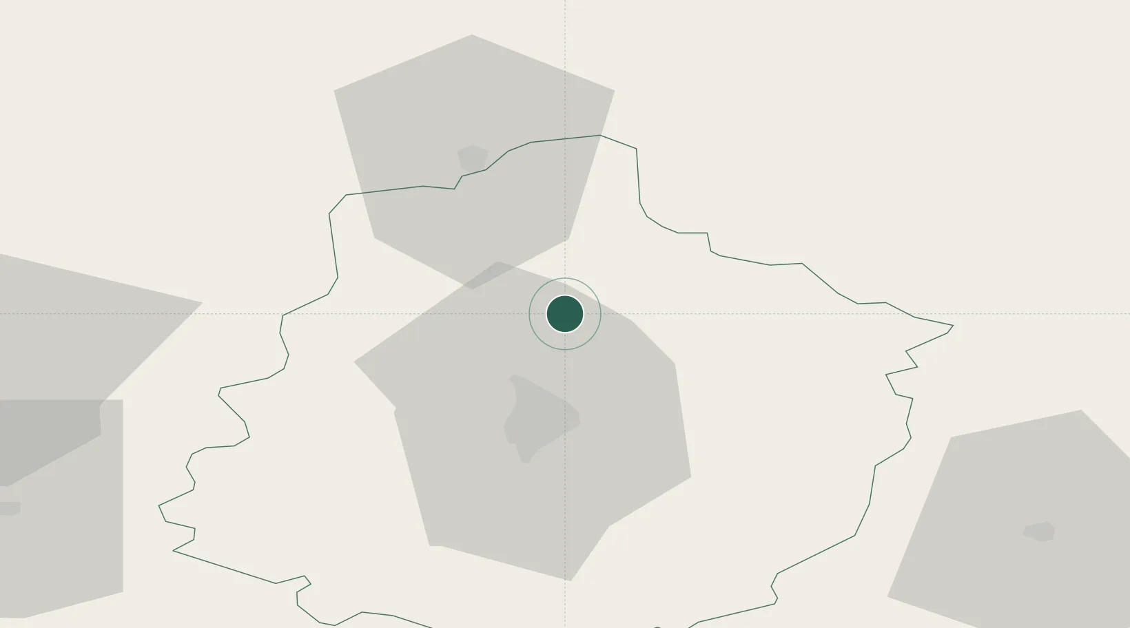
Saint-Mars-sous-Ballon
48.1667°, 0.2500°
648
Population
2
Transport functions
Transport Functions
Road
Multimodal
Hub Profile
Place type
Populated place
Region
Pays de la Loire
Population
648
Time zone
Europe/Paris
Elevation
97 m
Location
Nearby Logistics Neighbours
Cities
- 1Courceboeufs5 km
- 2Torce-Viviers-en-Charnie9 km
- 3Troarn15 km
- 4Le Mans19 km
- 5Tuffé21 km
Ports
- 1Port De Caen121 km
- 2Ouistreham130 km
- 3Deauville134 km
- 4Honfleur139 km
- 5Port Of Le Havre147 km
Airports
- 1Le Mans-Arnage Airport25 km
- 2Laval-Entrammes Airport75 km
- 3Angers Marcé airport79 km
- 4Châteaudun Airfield85 km
- 5Tours Val de Loire Airport89 km
Trade Zones
- 1ZFU Le Mans23 km
- 2ZFU Alençon32 km
- 3ZFU Angers99 km
- 4ZFU Blois100 km
- 5ZFU Dreux et Sainte-Gemme-Moronval106 km
DatabookThe Record of Consolidated Knowledge
France beyond logistics?