UN/LOCODE hub · France
FRTVC
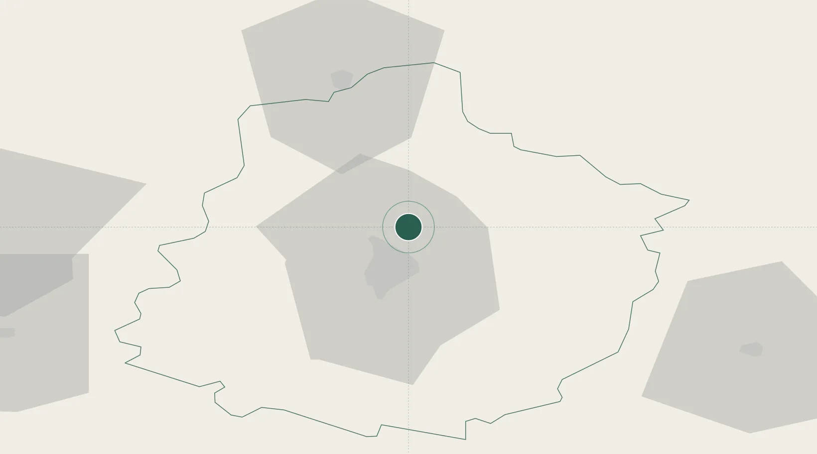
Torce-Viviers-en-Charnie
48.0833°, 0.2500°
769
Population
1
Transport functions
Transport Functions
Multimodal
Hub Profile
Place type
Populated place
Region
Pays de la Loire
Population
769
Time zone
Europe/Paris
Elevation
149 m
Location
Nearby Logistics Neighbours
Cities
- 1Courceboeufs6 km
- 2Saint-Mars-sous-Ballon9 km
- 3Le Mans10 km
- 4Ardenay-sur-Mérize16 km
- 5Tuffé20 km
Ports
- 1Port De Caen130 km
- 2Ouistreham138 km
- 3Deauville143 km
- 4Honfleur148 km
- 5Port Of Le Havre156 km
Airports
- 1Le Mans-Arnage Airport15 km
- 2Angers Marcé airport72 km
- 3Laval-Entrammes Airport74 km
- 4Tours Val de Loire Airport81 km
- 5Châteaudun Airfield84 km
Trade Zones
- 1ZFU Le Mans15 km
- 2ZFU Alençon41 km
- 3ZFU Angers92 km
- 4ZFU Blois94 km
- 5ZFU Dreux et Sainte-Gemme-Moronval112 km
DatabookThe Record of Consolidated Knowledge
France beyond logistics?